File:Nakhodka - Kavalerovo Road 01.jpg

Size of this preview: 800 × 533 pixels. Other resolutions: 320 × 213 pixels | 640 × 427 pixels | 1,024 × 683 pixels | 1,280 × 853 pixels | 1,920 × 1,280 pixels.
Original file (1,920 × 1,280 pixels, file size: 504 KB, MIME type: image/jpeg)
Captions
Captions
Add a one-line explanation of what this file represents
Summary
edit
| Description |
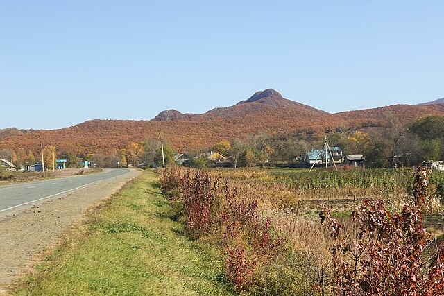
Français : Route 05N-131 de Nakhodka à Kavalerovo en automne 2015. |
| Date | |
| Source | https://wikimapia.org/#lang=fr&lat=43.719753&lon=135.234318&z=14&show=/street/17419996/ru/05%D0%9D-131-%D0%9D%D0%B0%D1%85%D0%BE%D0%B4%D0%BA%D0%B0-%E2%80%93-%D0%9B%D0%B0%D0%B7%D0%BE-%E2%80%93-%D0%9E%D0%BB%D1%8C%D0%B3%D0%B0-%E2%80%93-%D0%9A%D0%B0%D0%B2%D0%B0%D0%BB%D0%B5%D1%80%D0%BE%D0%B2%D0%BE |
| Author | VLADNES |
| Camera location | | View this and other nearby images on: OpenStreetMap |
|---|
Licensing
edit
This file is licensed under the Creative Commons Attribution-Share Alike 3.0 Unported license.
- You are free:
- to share – to copy, distribute and transmit the work
- to remix – to adapt the work
- Under the following conditions:
- attribution – You must give appropriate credit, provide a link to the license, and indicate if changes were made. You may do so in any reasonable manner, but not in any way that suggests the licensor endorses you or your use.
- share alike – If you remix, transform, or build upon the material, you must distribute your contributions under the same or compatible license as the original.
See Wikimapia terms reference (p. 1.F)
File history
Click on a date/time to view the file as it appeared at that time.
| Date/Time | Thumbnail | Dimensions | User | Comment | |
|---|---|---|---|---|---|
| current | 10:02, 20 January 2024 | | 1,920 × 1,280 (504 KB) | Lillian Rínkū (talk | contribs) | Uploaded a work by [http://wikimapia.org/user/725275 VLADNES] from https://wikimapia.org/#lang=fr&lat=43.719753&lon=135.234318&z=14&show=/street/17419996/ru/05%D0%9D-131-%D0%9D%D0%B0%D1%85%D0%BE%D0%B4%D0%BA%D0%B0-%E2%80%93-%D0%9B%D0%B0%D0%B7%D0%BE-%E2%80%93-%D0%9E%D0%BB%D1%8C%D0%B3%D0%B0-%E2%80%93-%D0%9A%D0%B0%D0%B2%D0%B0%D0%BB%D0%B5%D1%80%D0%BE%D0%B2%D0%BE with UploadWizard |
You cannot overwrite this file.
File usage on Commons
The following page uses this file:
File usage on other wikis
The following other wikis use this file:
- Usage on ca.wikipedia.org
- Usage on ce.wikipedia.org
- Usage on hy.wikipedia.org
- Usage on ru.wikipedia.org
- Usage on tt.wikipedia.org
- Usage on www.wikidata.org