File:Namibia Botswana Locator.png

Size of this preview: 800 × 406 pixels. Other resolutions: 320 × 162 pixels | 640 × 325 pixels | 1,024 × 519 pixels | 1,280 × 649 pixels | 2,754 × 1,397 pixels.
Original file (2,754 × 1,397 pixels, file size: 288 KB, MIME type: image/png)
Captions
Captions
Add a one-line explanation of what this file represents
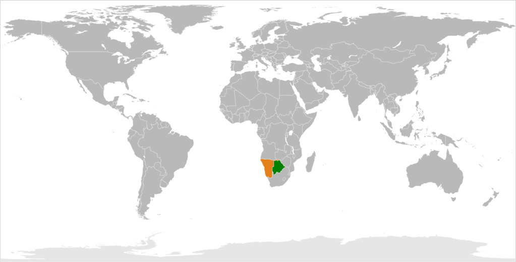
| Description | Blank map of Africa |
| Date | (UTC) |
| Source | |
| Author |
|
| Other versions | File:Namibia Botswana Locator.jpg |
.png)
| This is a retouched picture, which means that it has been digitally altered from its original version. Modifications: Highlighted Namibia and Botswana. The original can be viewed here: Blank Map-Africa.svg:
|
I, the copyright holder of this work, hereby publish it under the following license:
| I, the copyright holder of this work, release this work into the public domain. This applies worldwide. In some countries this may not be legally possible; if so: I grant anyone the right to use this work for any purpose, without any conditions, unless such conditions are required by law. |
Original upload log edit
This image is a derivative work of the following images:
- File:Blank_Map-Africa.svg licensed with PD-self
- 2007-03-18T23:58:27Z Revolus 1200x1230 (68361 Bytes) Lesotho nach hinten, Quelle [[de:Bild:Afrika_Politisch_2.png]]
- 2007-03-18T23:44:01Z Revolus 1200x1230 (68361 Bytes) Angepasst; kleiner; ordentliche IDs; leider deutsch, da zu faul, englische Namen rauszusuchen
- 2006-09-07T03:56:44Z Andreas 06 1200x1230 (86656 Bytes) Imagesize reduced
- 2006-09-01T02:09:57Z Andreas 06 1300x1330 (85734 Bytes) {{Information |Description= |Source=Blank map of Africa |Date=2006-09-01 |Author=~~~ |Permission= |other_versions= }}
Uploaded with derivativeFX
File history
Click on a date/time to view the file as it appeared at that time.
| Date/Time | Thumbnail | Dimensions | User | Comment | |
|---|---|---|---|---|---|
| current | 22:37, 17 April 2018 | | 2,754 × 1,397 (288 KB) | PlanespotterA320 (talk | contribs) | better |
| 22:54, 1 April 2018 |  | 2,000 × 2,050 (297 KB) | Maphobbyist (talk | contribs) | South Sudan border | |
| 20:29, 22 July 2009 |  | 2,537 × 2,858 (281 KB) | Aymatth2 (talk | contribs) | {{Information |Description=Blank map of Africa{{ValidSVG}} |Source=*File:Blank_Map-Africa.svg |Date=2009-07-22 20:28 (UTC) |Author=*File:Blank_Map-Africa.svg: Andreas 06 *derivative work: ~~~ |Permission=see below |other_ve |
You cannot overwrite this file.
File usage on Commons
The following page uses this file:
File usage on other wikis
The following other wikis use this file:
- Usage on ca.wikipedia.org
- Usage on en.wikipedia.org
- Usage on es.wikipedia.org
- Usage on fa.wikipedia.org
- Usage on fr.wikipedia.org
- Usage on ru.wikipedia.org
- Usage on www.wikidata.org