File:Namibia Sweden locator.svg

Size of this PNG preview of this SVG file: 800 × 363 pixels. Other resolutions: 320 × 145 pixels | 640 × 290 pixels | 1,024 × 464 pixels | 1,280 × 580 pixels | 2,560 × 1,160 pixels | 1,326 × 601 pixels.
Original file (SVG file, nominally 1,326 × 601 pixels, file size: 192 KB)
Captions
Captions
Add a one-line explanation of what this file represents
| Description |
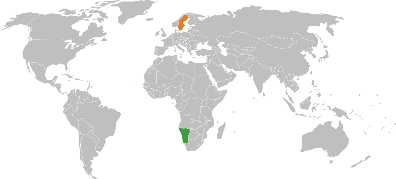
English: A map of the location of Namibia and Sweden. The map uses the Robinson projection centered on the Greenwich Prime Meridian. Namibia Sweden |
| Date | (UTC) |
| Source | |
| Author |
|
| This is a retouched picture, which means that it has been digitally altered from its original version. Modifications: created locator map for Namibia Sweden relations. The original can be viewed here: BlankMap-World-v2.svg:
|
I, the copyright holder of this work, hereby publish it under the following license:
| I, the copyright holder of this work, release this work into the public domain. This applies worldwide. In some countries this may not be legally possible; if so: I grant anyone the right to use this work for any purpose, without any conditions, unless such conditions are required by law. |
Original upload log edit
This image is a derivative work of the following images:
- File:BlankMap-World-v2.svg licensed with PD-self
- 2008-12-03T18:02:36Z Harbin 1326x601 (192122 Bytes)
- 2008-12-02T19:55:14Z Harbin 1326x601 (197882 Bytes)
- 2008-12-02T19:04:59Z Harbin 1326x601 (176022 Bytes) {{Information |Description={{en|1=A blank map of the world as of 2005, with country outlines. Sovereign microstates less than 2 500 km² in area are depicted as circles (see Wikipedia:Image_talk:BlankMap-World-v2.png for list
Uploaded with derivativeFX
File history
Click on a date/time to view the file as it appeared at that time.
| Date/Time | Thumbnail | Dimensions | User | Comment | |
|---|---|---|---|---|---|
| current | 20:01, 27 December 2010 | | 1,326 × 601 (192 KB) | P. S. Burton (talk | contribs) | {{Information |Description={{en|1=A blank map of the world as of 2005, with country outlines. Sovereign microstates less than 2 500 km² in area are depicted as circles. The map uses the Robinson projection centered on the Greenwich Prime Meridian. Vector |
You cannot overwrite this file.
File usage on Commons
There are no pages that use this file.