File:Namibia map mk.png
No higher resolution available.
Namibia_map_mk.png (328 × 353 pixels, file size: 39 KB, MIME type: image/png)
Captions
Captions
Add a one-line explanation of what this file represents
Summary edit
| Description |
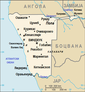
Македонски: Карта на Намибија на македонски English: Map of Namibia in Macedonian. |
| Date | |
| Source | Derivative works of this file: Namibia map-sv.png |
| Author | CIA |
| Other versions | English version |
derivative works edit
Derivative works of this file: Namibia map-sv.png
This image is in the public domain because it contains materials that originally came from the United States Central Intelligence Agency's World Factbook.
|
 |
File history
Click on a date/time to view the file as it appeared at that time.
| Date/Time | Thumbnail | Dimensions | User | Comment | |
|---|---|---|---|---|---|
| current | 12:31, 30 July 2020 | | 328 × 353 (39 KB) | MacedonianBoy (talk | contribs) | Uploaded own work with UploadWizard |
You cannot overwrite this file.
File usage on Commons
The following page uses this file:
File usage on other wikis
The following other wikis use this file:
- Usage on mk.wikipedia.org