File:Near Carr Canyon - Flickr - aspidoscelis.jpg
Size of this preview: 800 × 533 pixels. Other resolutions: 320 × 213 pixels | 640 × 427 pixels | 1,024 × 683 pixels | 1,280 × 853 pixels | 2,560 × 1,707 pixels | 3,600 × 2,400 pixels.
Original file (3,600 × 2,400 pixels, file size: 4.35 MB, MIME type: image/jpeg)
Captions
Captions
Add a one-line explanation of what this file represents
Summary
edit
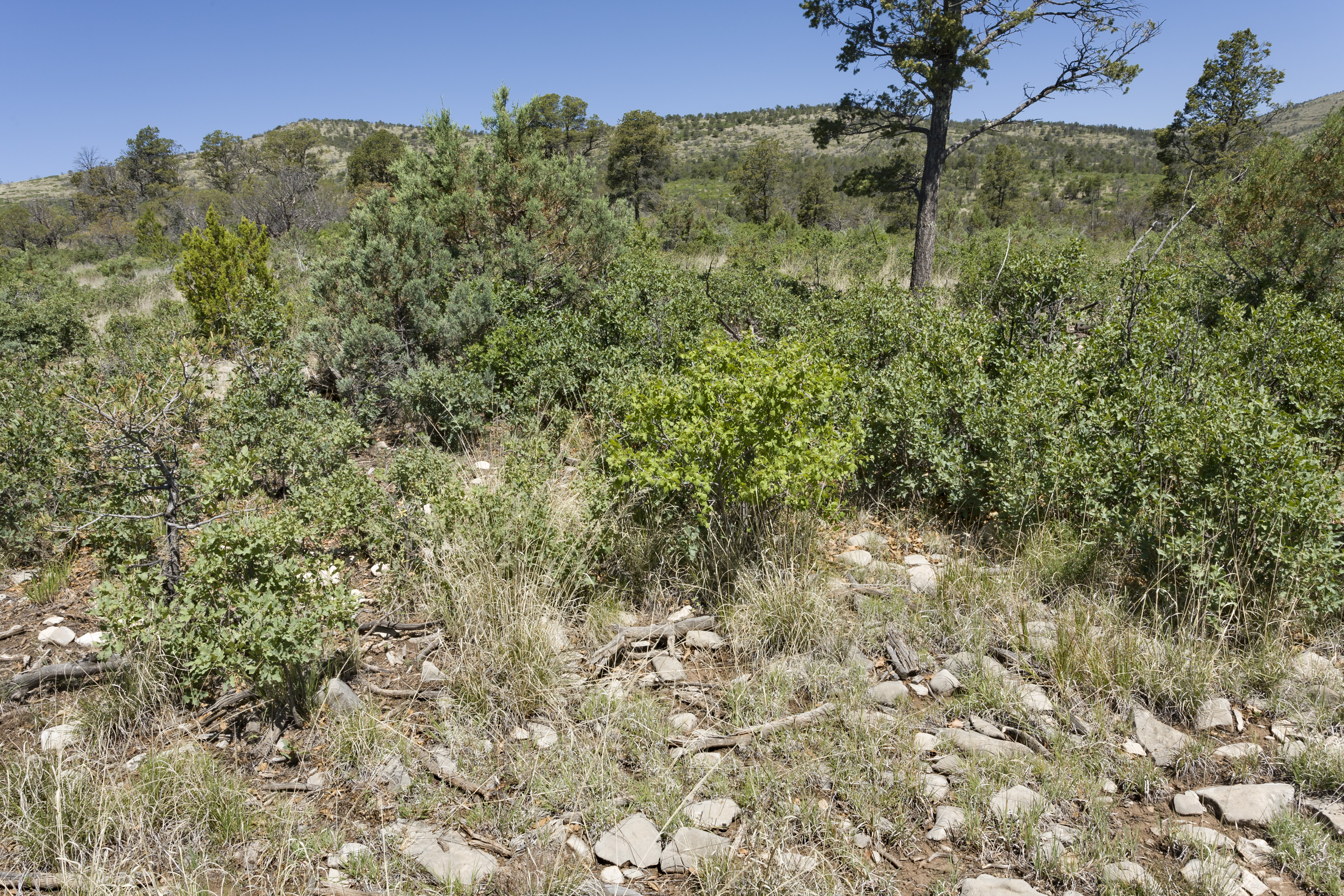
| Description | Eastern Sacramento Mountains, north of US Hwy. 82 between Carr Canyon and McGee Canyon, 32.91546 -105.46291, Otero County, New Mexico, 3 Jun 2015. Dysphania graveolens, Rhus trilobata, Amauriopsis dissecta, Artemisia ludoviciana, Baccharis pteronioides, Heterotheca villosa, Hesperidanthus linearifolius, Echinocereus viridiflorus var. viridiflorus, Opuntia phaeacantha, Dichondra brachypoda, Juniperus deppeana, Tragia, Astragalus, Dalea, Quercus undulata, Linum, Pinus edulis, Bouteloua curtipendula, Bouteloua gracilis, Eragrostis curvula, Muhlenbergia dubia, Muhlenbergia emersleyi, Muhlenbergia repens, Piptochaetium fimbriatum, Clematis pitcheri, Glandularia bipinnatifida var. ciliata, etc. |
| Date | |
| Source | Near Carr Canyon |
| Author | Patrick Alexander from Las Cruces, NM |
| Camera location | | View this and other nearby images on: OpenStreetMap |
|---|
Licensing
edit
| This file is made available under the Creative Commons CC0 1.0 Universal Public Domain Dedication. | |
| The person who associated a work with this deed has dedicated the work to the public domain by waiving all of their rights to the work worldwide under copyright law, including all related and neighboring rights, to the extent allowed by law. You can copy, modify, distribute and perform the work, even for commercial purposes, all without asking permission.
|
| This image was originally posted to Flickr by aspidoscelis at https://flickr.com/photos/26246711@N00/22732212383. It was reviewed on 6 October 2020 by FlickreviewR 2 and was confirmed to be licensed under the terms of the cc-zero. |
File history
Click on a date/time to view the file as it appeared at that time.
| Date/Time | Thumbnail | Dimensions | User | Comment | |
|---|---|---|---|---|---|
| current | 21:07, 6 October 2020 | | 3,600 × 2,400 (4.35 MB) | Josve05a (talk | contribs) | == {{int:filedesc}} == =={{int:filedesc}}== {{Information |Description=Eastern Sacramento Mountains, north of US Hwy. 82 between Carr Canyon and McGee Canyon, 32.91546 -105.46291, Otero County, New Mexico, 3 Jun 2015. ''Dysphania graveolens, Rhus trilobata, Amauriopsis dissecta, Artemisia ludoviciana, Baccharis pteronioides, Heterotheca villosa, Hesperidanthus linearifolius, Echinocereus viridiflorus'' var. ''viridiflorus, Opuntia phaeacantha, Dichondra brachypoda, Juniperus deppeana, Tragia,... |
You cannot overwrite this file.
File usage on Commons
There are no pages that use this file.