File:Nedre Blindern stabbur.jpg

Size of this preview: 800 × 507 pixels. Other resolutions: 320 × 203 pixels | 640 × 406 pixels | 1,156 × 733 pixels.
Original file (1,156 × 733 pixels, file size: 1.01 MB, MIME type: image/jpeg)
Captions
Captions
Add a one-line explanation of what this file represents
| Camera location | | View this and other nearby images on: OpenStreetMap |
|---|
Summary edit
| Description |
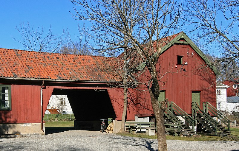
Norsk bokmål: Stabbur og vognskjul på Nedre Blindern, Oslo. Trolig fra tidlig 1800-tall. Freda. |
| Date | |
| Source | Own work |
| Author | Mahlum |
Licensing edit
| I, the copyright holder of this work, release this work into the public domain. This applies worldwide. In some countries this may not be legally possible; if so: I grant anyone the right to use this work for any purpose, without any conditions, unless such conditions are required by law. |
File history
Click on a date/time to view the file as it appeared at that time.
| Date/Time | Thumbnail | Dimensions | User | Comment | |
|---|---|---|---|---|---|
| current | 09:10, 20 April 2008 | | 1,156 × 733 (1.01 MB) | Mahlum (talk | contribs) | {{Information |Description={{no|Stabbur og vognskjul på Nedre Blindern, Oslo. Trolig fra tidlig 1800-tall. Freda.}} |Source=self-made |Date=2008-04-19. |Author= Mahlum |Permission= |other_versions= }} Category:Farm buildings in Oslo |
You cannot overwrite this file.
File usage on Commons
There are no pages that use this file.