File:Nesza 07.jpg

Size of this preview: 800 × 568 pixels. Other resolutions: 320 × 227 pixels | 640 × 454 pixels | 1,024 × 727 pixels | 1,280 × 908 pixels | 2,560 × 1,817 pixels | 4,160 × 2,952 pixels.
Original file (4,160 × 2,952 pixels, file size: 4.27 MB, MIME type: image/jpeg)
Captions
Captions
Add a one-line explanation of what this file represents
Summary
edit
| Description |
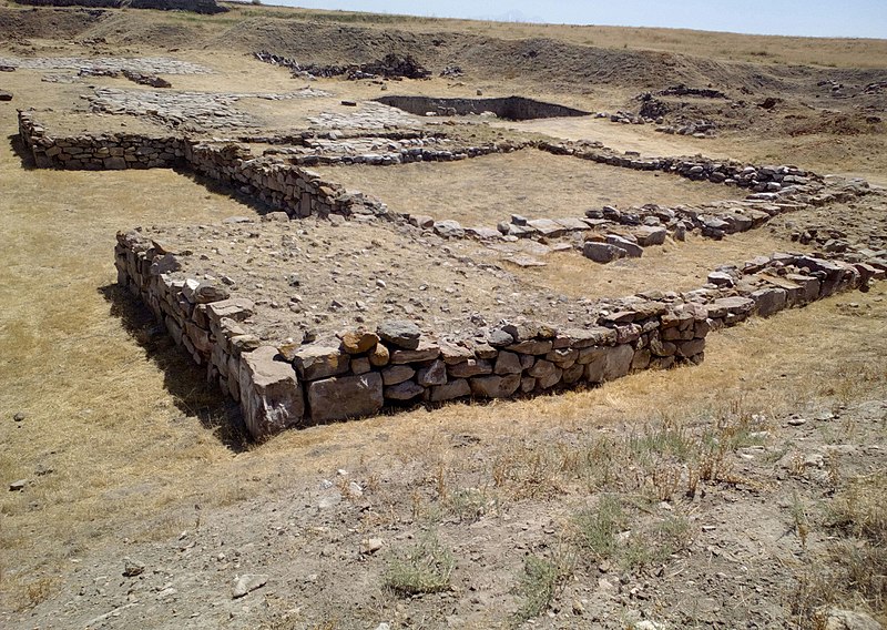
Magyar: Anittasz tornyának délnyugati sarka (Nesza, Kültepe, Kayseri, Törökország) |
| Date | |
| Source | Own work |
| Author | Laszlovszky András |
| Camera location | | View this and other nearby images on: OpenStreetMap |
|---|
Licensing
edit
This file is licensed under the Creative Commons Attribution-Share Alike 4.0 International license.
- You are free:
- to share – to copy, distribute and transmit the work
- to remix – to adapt the work
- Under the following conditions:
- attribution – You must give appropriate credit, provide a link to the license, and indicate if changes were made. You may do so in any reasonable manner, but not in any way that suggests the licensor endorses you or your use.
- share alike – If you remix, transform, or build upon the material, you must distribute your contributions under the same or compatible license as the original.
Original upload log
edit
The original description page was here. All following user names refer to hu.wikipedia.
| Date/Time | Dimensions | User | Comment |
|---|---|---|---|
| 2017-10-02 09:30 | 4160×2952× (4481679 bytes) | Laszlovszky András | {{Információ | leírás = Anittasz tornyának délnyugati sarka. {{Koord|38|50|58.19|É|35|38|4.49|K}} | forrás = saját kép | dátum = 2017. július 21. | helyszín = Nesza, Kültepe, Kayseri, Törökország | szerz… |
File history
Click on a date/time to view the file as it appeared at that time.
| Date/Time | Thumbnail | Dimensions | User | Comment | |
|---|---|---|---|---|---|
| current | 08:51, 27 December 2018 | | 4,160 × 2,952 (4.27 MB) | Regasterios (talk | contribs) | Transferred from hu.wikipedia via #commonshelper |
You cannot overwrite this file.
File usage on Commons
There are no pages that use this file.