File:Neu-Anspach gusseisernes Hoftor Langgasse.jpg

Size of this preview: 800 × 600 pixels. Other resolutions: 320 × 240 pixels | 640 × 480 pixels | 1,024 × 768 pixels | 1,280 × 960 pixels | 2,560 × 1,920 pixels | 4,608 × 3,456 pixels.
Original file (4,608 × 3,456 pixels, file size: 3.55 MB, MIME type: image/jpeg)
Captions
Captions
Add a one-line explanation of what this file represents
| Camera location | | View this and other nearby images on: OpenStreetMap |
|---|
Summary edit
| Description |
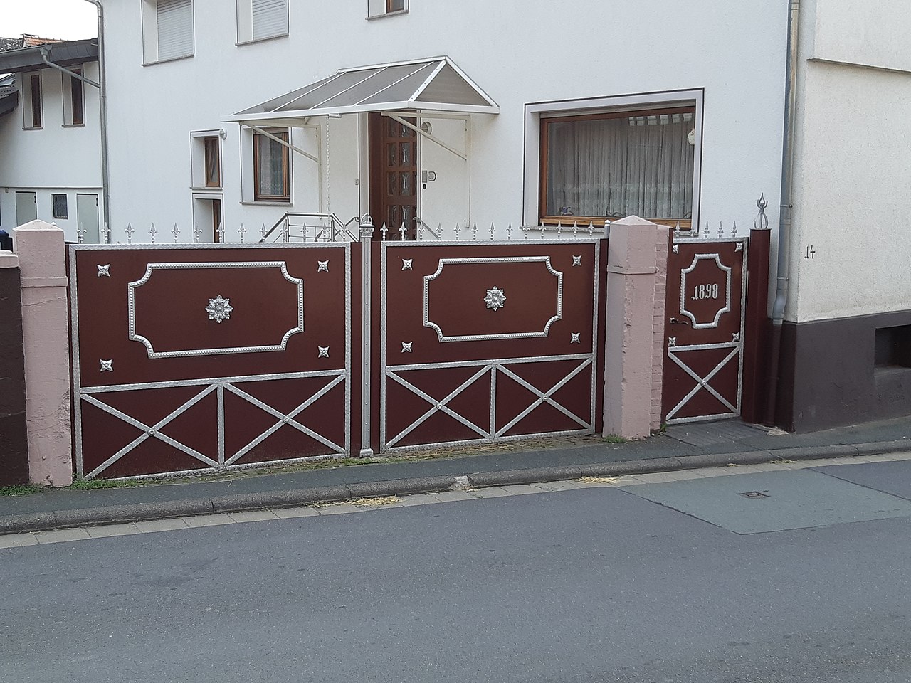
Deutsch: Gusseisernes Hoftor in der Langgasse in Neu-Anspach, Verzierung ähnlich der gusseisernen Brunnen im Taunus.
English: Cast-iron yard gate in Neu-Anspach |
| Date | Taken on 25 July 2021 |
| Source | own photo |
| Author |
MdE |
Licensing edit
This file is licensed under the Creative Commons Attribution-Share Alike 3.0 Germany license.

|

File history
Click on a date/time to view the file as it appeared at that time.
| Date/Time | Thumbnail | Dimensions | User | Comment | |
|---|---|---|---|---|---|
| current | 11:30, 26 December 2021 | | 4,608 × 3,456 (3.55 MB) | MdE (talk | contribs) | {{User:MdE/FotoCC-DE |InfoDE=Gusseisernes Hoftor in der Langgasse in {{wd|Neu-Anspach}}, Verzierung ähnlich der {{wd|Liste von gusseisernen Brunnen im Taunus und Westerwald|gusseisernen Brunnen im Taunus}}. |InfoEN=Cast-iron yard gate in {{w|Neu-Anspach}} |Datum=2021-07-25 |Kamera=M5 |Objektiv=OM1250 }} Category:Structures in Anspach (Neu-Anspach) |
You cannot overwrite this file.
File usage on Commons
There are no pages that use this file.