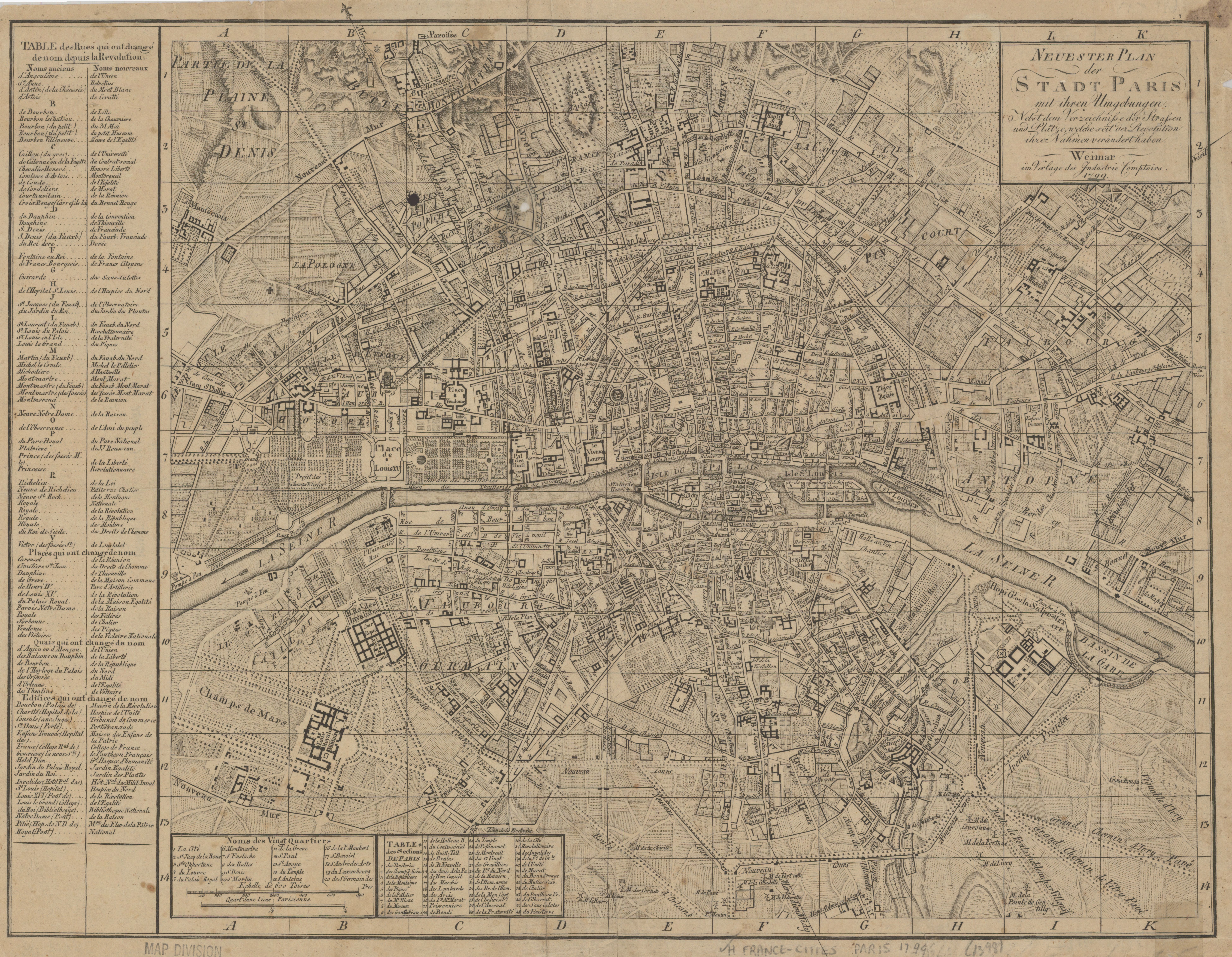
File:Neuester Plan der Stadt Paris mit ihren Umgebungen by Industrie-Comptoir, 1799 - Stanford Libraries.jpg
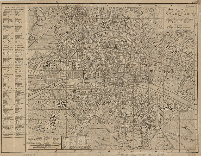
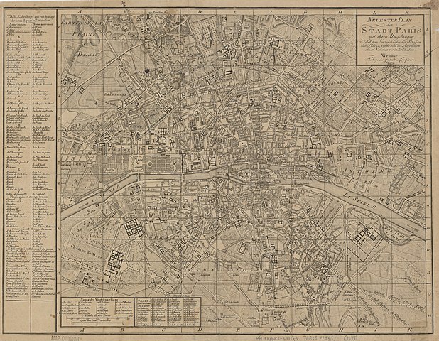
Size of this preview: 772 × 599 pixels. Other resolutions: 309 × 240 pixels | 618 × 480 pixels | 989 × 768 pixels | 1,280 × 994 pixels | 2,560 × 1,988 pixels | 7,799 × 6,056 pixels.
Original file (7,799 × 6,056 pixels, file size: 8.58 MB, MIME type: image/jpeg)
Captions
Captions
Add a one-line explanation of what this file represents
Summary
edit
| Title |
Neuester Plan der Stadt Paris mit ihren Umgebungen : nebst dem Verzeichnisse der Strassen und Plätze, welche seit der Revolution ihre Nahmen verändert haben |
| Description |
English: Relief shown by hachures. Includes table in French: Table des rues qui ont changé de nom depuis la Revolution. |
| Source | Stanford Libraries |
| Creator |
Industrie-Comptoir (Weimar, Thuringia, Germany) |
| Georeferencing | If inappropriate please set warp_status = skip to hide. |
| Bibliographic data | |
| Publisher |
Weimar : Im Verlage des Industrie Comptoirs, 1799. |
| Archival data | |
| Collection | Stanford Libraries |
| Medium | 1 map |
Licensing
edit
|
This work is in the public domain in its country of origin and other countries and areas where the copyright term is the author's life plus 100 years or fewer. | |
| This file has been identified as being free of known restrictions under copyright law, including all related and neighboring rights. | |
File history
Click on a date/time to view the file as it appeared at that time.
| Date/Time | Thumbnail | Dimensions | User | Comment | |
|---|---|---|---|---|---|
| current | 16:10, 8 July 2020 | | 7,799 × 6,056 (8.58 MB) | Paris 16 (talk | contribs) | Uploaded own work with UploadWizard |
You cannot overwrite this file.
File usage on Commons
The following page uses this file:
File usage on other wikis
The following other wikis use this file:
- Usage on en.wikipedia.org
- Usage on es.wikipedia.org