File:Neuwiller Chapitre 06.JPG

Size of this preview: 788 × 600 pixels. Other resolutions: 315 × 240 pixels | 631 × 480 pixels | 1,009 × 768 pixels | 1,280 × 974 pixels | 2,560 × 1,949 pixels | 3,584 × 2,728 pixels.
Original file (3,584 × 2,728 pixels, file size: 2.43 MB, MIME type: image/jpeg)
Captions
Captions
Add a one-line explanation of what this file represents
Summary edit
| Description |
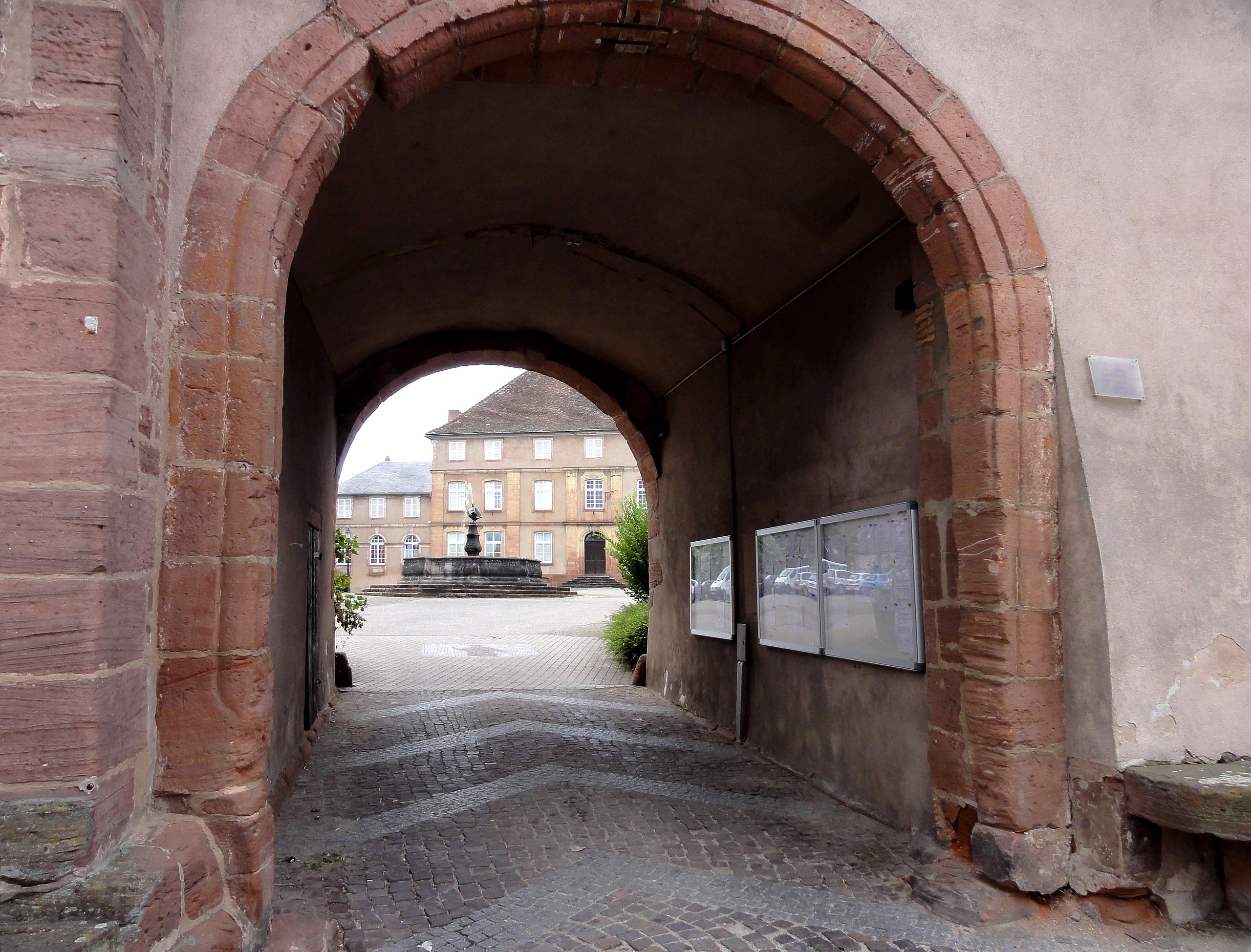
Alsace, Bas-Rhin, Neuwiller-lès-Saverne, Abbaye bénédictine: Passage médiéval (XIIIe) entre la Cour du Chapitre et la rue du Général-Koenig.
Ancien hôtel de la Prévôté du Chapitre (XVIIIe), 8 Cour du Chapitre:
Fontaine (XVIIIe):
|
||||||
| Date | |||||||
| Source | Own work | ||||||
| Author | © Ralph Hammann - Wikimedia Commons |
| Camera location | | View this and other nearby images on: OpenStreetMap |
|---|
Licensing edit
I, the copyright holder of this work, hereby publish it under the following license:
This file is licensed under the Creative Commons Attribution-Share Alike 4.0 International license.
- You are free:
- to share – to copy, distribute and transmit the work
- to remix – to adapt the work
- Under the following conditions:
- attribution – You must give appropriate credit, provide a link to the license, and indicate if changes were made. You may do so in any reasonable manner, but not in any way that suggests the licensor endorses you or your use.
- share alike – If you remix, transform, or build upon the material, you must distribute your contributions under the same or compatible license as the original.
File history
Click on a date/time to view the file as it appeared at that time.
| Date/Time | Thumbnail | Dimensions | User | Comment | |
|---|---|---|---|---|---|
| current | 06:03, 13 November 2013 | | 3,584 × 2,728 (2.43 MB) | Ralph Hammann (talk | contribs) | User created page with UploadWizard |
You cannot overwrite this file.
File usage on Commons
The following page uses this file: