File:New Arbat Ave.jpg
Size of this preview: 800 × 533 pixels. Other resolutions: 320 × 213 pixels | 640 × 427 pixels | 1,024 × 683 pixels | 1,280 × 853 pixels | 2,560 × 1,707 pixels | 3,256 × 2,171 pixels.
Original file (3,256 × 2,171 pixels, file size: 3.84 MB, MIME type: image/jpeg)
Captions
Captions
Add a one-line explanation of what this file represents
Summary edit
| Description |
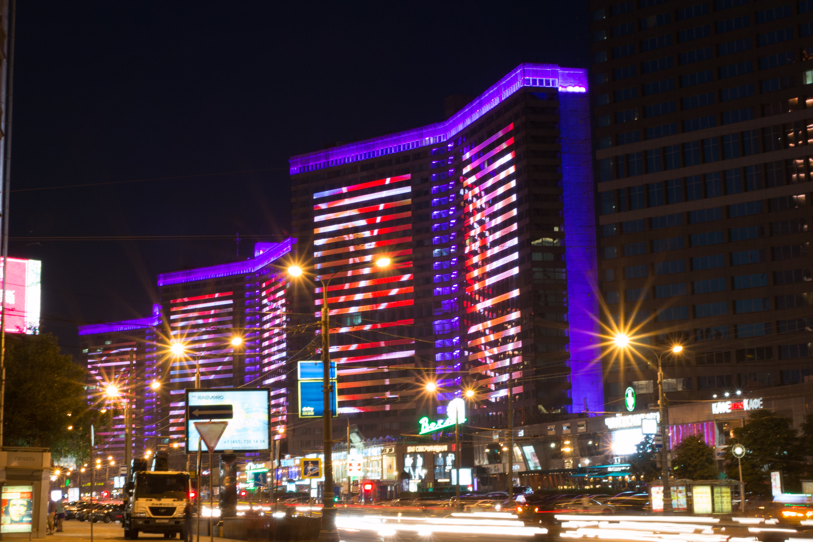
English: New Arbat Avenue
is a major street in Moscow running west from Arbat Square on the Boulevard Ring to Novoarbatsky Bridge on the opposite bank of the Moskva River. The modern six-lane avenue (originally named Kalinin Prospekt from 1968-1994), along with two rows of high-rise buildings, was constructed between 1962 and 1968, and was literally cut through the old, narrow streets of the Arbat District. |
| Date | 14 July 2014, 23:39:39 |
| Source | https://www.flickr.com/photos/kvinokurov/14471635858/ |
| Author | Kirill Vinokurov |
| Camera location | | View this and other nearby images on: OpenStreetMap |
|---|
Licensing edit
| This image was originally posted to Flickr by Kirill VV at https://flickr.com/photos/94210826@N07/14471635858. It was reviewed on 12 June 2016 by FlickreviewR and was confirmed to be licensed under the terms of the cc-by-2.0. |
This file is licensed under the Creative Commons Attribution 2.0 Generic license.
- You are free:
- to share – to copy, distribute and transmit the work
- to remix – to adapt the work
- Under the following conditions:
- attribution – You must give appropriate credit, provide a link to the license, and indicate if changes were made. You may do so in any reasonable manner, but not in any way that suggests the licensor endorses you or your use.
File history
Click on a date/time to view the file as it appeared at that time.
| Date/Time | Thumbnail | Dimensions | User | Comment | |
|---|---|---|---|---|---|
| current | 20:14, 12 June 2016 | | 3,256 × 2,171 (3.84 MB) | ShadZ01 (talk | contribs) | User created page with UploadWizard |
You cannot overwrite this file.
File usage on Commons
The following page uses this file:
File usage on other wikis
The following other wikis use this file:
- Usage on en.wikipedia.org
- Usage on es.wikipedia.org
- Usage on my.wikipedia.org
- Usage on sl.wikipedia.org
- Usage on sr.wikipedia.org