File:New Zealand (relief map).png

Size of this preview: 419 × 600 pixels. Other resolutions: 167 × 240 pixels | 335 × 480 pixels | 536 × 768 pixels | 715 × 1,024 pixels | 1,380 × 1,976 pixels.
Original file (1,380 × 1,976 pixels, file size: 556 KB, MIME type: image/png)
Captions
Captions
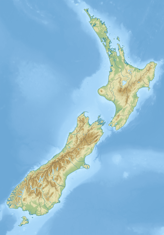
Relief map of New Zealand
Summary
edit| Description |
English: Relief map of New Zealand
|
||||||||||||
| Date | |||||||||||||
| Source | Own work | ||||||||||||
| Author | M.Bitton | ||||||||||||
| Permission (Reusing this file) |
|
||||||||||||
| Other versions |
|
||||||||||||
.svg)
.png&action=edit§ion=1)
Licensing
edit.png&action=edit§ion=2)
I, the copyright holder of this work, hereby publish it under the following license:
This file is licensed under the Creative Commons Attribution-Share Alike 4.0 International license.
- You are free:
- to share – to copy, distribute and transmit the work
- to remix – to adapt the work
- Under the following conditions:
- attribution – You must give appropriate credit, provide a link to the license, and indicate if changes were made. You may do so in any reasonable manner, but not in any way that suggests the licensor endorses you or your use.
- share alike – If you remix, transform, or build upon the material, you must distribute your contributions under the same or compatible license as the original.
File history
Click on a date/time to view the file as it appeared at that time.
| Date/Time | Thumbnail | Dimensions | User | Comment | |
|---|---|---|---|---|---|
| current | 13:40, 10 March 2024 | | 1,380 × 1,976 (556 KB) | M.Bitton (talk | contribs) | changed the colours (per request) |
| 13:58, 8 March 2024 |  | 1,380 × 1,976 (758 KB) | M.Bitton (talk | contribs) | Uploaded own work with UploadWizard |
You cannot overwrite this file.
File usage on Commons
The following page uses this file:
File usage on other wikis
The following other wikis use this file:
- Usage on en.wikipedia.org
- Aoraki / Mount Cook
- Wellington
- Pearl Harbour, New Zealand
- Mount Ruapehu
- Cook Strait
- Lake Taupō
- 1931 Hawke's Bay earthquake
- Benmore Dam
- Hawke Bay
- The Remarkables
- Taupō Volcanic Zone
- Rakiura National Park
- Milford Sound
- Bay of Islands
- Egmont National Park
- Manawatāwhi / Three Kings Islands
- Mount Taranaki
- Clyde Dam
- Mount Tarawera
- Doubtful Sound / Patea
- Manapouri Power Station
- Lake Manapouri
- Waiheke Island
- Okuru River
- Jackson Bay
- Lake Paringa
- Mount John University Observatory
- Mount Ngauruhoe
- Aan River
- Acheron River (Marlborough)
- Adams River (New Zealand)
- Ahuriri River
- Akatarawa River
- Blue River (New Zealand)
- Boulder River (New Zealand)
- Clearwater River (New Zealand)
- Cook River / Weheka
- Sabine River (New Zealand)
- Dry River (New Zealand)
- Red River (New Zealand)
- White River (New Zealand)
- Haast River
- Haast Pass
- Mackenzie River (New Zealand)
- Travers River
- Copland River
- Nelson Lakes National Park
- D'Urville River
- Arthur's Pass National Park
- Makarora River
View more global usage of this file.
.png)
.png&oldid=859374236)