File:Njmap-0254.png
Size of this preview: 458 × 599 pixels. Other resolutions: 183 × 240 pixels | 550 × 719 pixels.
Original file (550 × 719 pixels, file size: 13 KB, MIME type: image/png)
Captions
Captions
Add a one-line explanation of what this file represents
Summary edit
| Description |
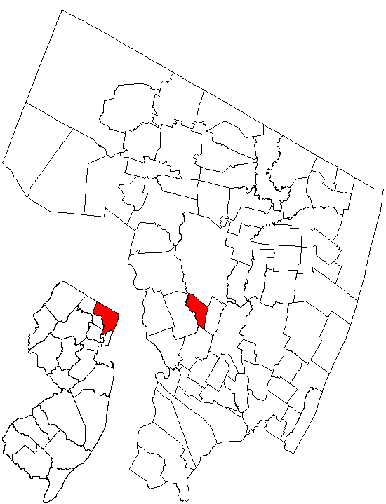
English: Map showing Rochelle Park within Bergen County, NJ. |
| Date | 9 January 2005 (original upload date) |
| Source | Created by Charles O'Reilly from public-domain images at the State of New Jersey Web site. |
| Author | CharlieZeb at English Wikipedia |
Licensing edit
| This work is ineligible for copyright and therefore in the public domain because it consists entirely of information that is common property and contains no original authorship. |
Original upload log edit
Transferred from en.wikipedia to Commons by Quadell using CommonsHelper.
The original description page was here. All following user names refer to en.wikipedia.
- 2005-01-09 23:22 CharlieZeb 550×719× (13014 bytes) Map showing Rochelle Park within Bergen County, NJ. Created by Charles O'Reilly from public-domain images at the State of New Jersey Web site.
File history
Click on a date/time to view the file as it appeared at that time.
| Date/Time | Thumbnail | Dimensions | User | Comment | |
|---|---|---|---|---|---|
| current | 15:05, 17 July 2013 | | 550 × 719 (13 KB) | File Upload Bot (Magnus Manske) (talk | contribs) | Transfered from en.wikipedia by User:Quadell using CommonsHelper |
You cannot overwrite this file.
File usage on Commons
The following page uses this file:
File usage on other wikis
The following other wikis use this file:
- Usage on cy.wikipedia.org
- Usage on en.wikipedia.org
- Usage on fr.wikipedia.org
- Usage on ht.wikipedia.org
- Usage on sh.wikipedia.org
- Usage on sr.wikipedia.org
- Usage on www.wikidata.org