File:Norman Road and St Paul's Street, Swindon - geograph.org.uk - 1512234.jpg
No higher resolution available.
Norman_Road_and_St_Paul's_Street,_Swindon_-_geograph.org.uk_-_1512234.jpg (640 × 480 pixels, file size: 222 KB, MIME type: image/jpeg)
Captions
Captions
Add a one-line explanation of what this file represents
Summary
edit
| Description |
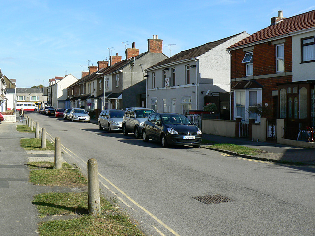
English: Norman Road and St Paul's Street, Swindon Norman Road runs into St Paul's Street at a point just behind the third car on the right. St Paul's Street was built in the late 19th century and old maps from that era show it. Norman Road was developed in the 20th century, probably in the years before and after the Great War. The bus in the distance is in Cricklade Road. |
| Date | |
| Source | From geograph.org.uk |
| Author | Brian Robert Marshall |
| Attribution (required by the license) | Brian Robert Marshall / Norman Road and St Paul's Street, Swindon / |
| Camera location | | View this and other nearby images on: OpenStreetMap |
|---|
_heading:90.00&language=en)
| Object location | | View this and other nearby images on: OpenStreetMap |
|---|
_heading:90.00&language=en)
Licensing
edit

|
This image was taken from the Geograph project collection. See this photograph's page on the Geograph website for the photographer's contact details. The copyright on this image is owned by Brian Robert Marshall and is licensed for reuse under the Creative Commons Attribution-ShareAlike 2.0 license.
|
This file is licensed under the Creative Commons Attribution-Share Alike 2.0 Generic license.
Attribution: Brian Robert Marshall
- You are free:
- to share – to copy, distribute and transmit the work
- to remix – to adapt the work
- Under the following conditions:
- attribution – You must give appropriate credit, provide a link to the license, and indicate if changes were made. You may do so in any reasonable manner, but not in any way that suggests the licensor endorses you or your use.
- share alike – If you remix, transform, or build upon the material, you must distribute your contributions under the same or compatible license as the original.
File history
Click on a date/time to view the file as it appeared at that time.
| Date/Time | Thumbnail | Dimensions | User | Comment | |
|---|---|---|---|---|---|
| current | 00:36, 3 March 2011 | | 640 × 480 (222 KB) | GeographBot (talk | contribs) | == {{int:filedesc}} == {{Information |description={{en|1=Norman Road and St Paul's Street, Swindon Norman Road runs into St Paul's Street at a point just behind the third car on the right. St Paul's Street was built in the late 19th century and old maps f |
You cannot overwrite this file.
File usage on Commons
The following page uses this file:
File usage on other wikis
The following other wikis use this file:
- Usage on pl.wikipedia.org
- Usage on www.wikidata.org