File:Northern England-Historic counties.svg

Size of this PNG preview of this SVG file: 473 × 599 pixels. Other resolutions: 189 × 240 pixels | 379 × 480 pixels | 606 × 768 pixels | 808 × 1,024 pixels | 1,616 × 2,048 pixels | 809 × 1,025 pixels.
Original file (SVG file, nominally 809 × 1,025 pixels, file size: 933 KB)
Captions
Captions
Add a one-line explanation of what this file represents
| Description |
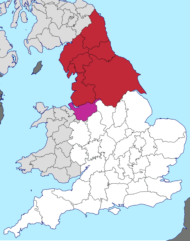
English: Northern England, as defined along historic county boundaries |
| Date | |
| Source | British Isles in counties.svg |
| Author | User:Visitor from Wikishire. This particular view by User:Inops |
| Permission (Reusing this file) |
This file is licensed under the Creative Commons Attribution-Share Alike 4.0 International license. Attribution: Wikishire
|
File history
Click on a date/time to view the file as it appeared at that time.
| Date/Time | Thumbnail | Dimensions | User | Comment | |
|---|---|---|---|---|---|
| current | 20:25, 29 April 2018 | | 809 × 1,025 (933 KB) | Inops (talk | contribs) | make France the right colour |
| 13:29, 27 June 2017 |  | 809 × 1,025 (933 KB) | Inops (talk | contribs) | change to darker shade of red, and change colour of Cheshire to indicate its sometime exclusion | |
| 16:47, 26 June 2017 |  | 809 × 1,025 (933 KB) | Inops (talk | contribs) | {{Information |Description=Northern England, as defined on historic county boundaries |Source=British Isles in counties.svg |Date=2017-06-26 |Author=User:Visitor from Wikishire. This particular view by [[User... |
You cannot overwrite this file.
File usage on Commons
There are no pages that use this file.
File usage on other wikis
The following other wikis use this file:
- Usage on ar.wikipedia.org
- Usage on bn.wikipedia.org
- Usage on en.wikipedia.org
- Usage on vi.wikipedia.org
- Usage on zh.wikipedia.org