File:Northwest Atlantic coast.gif
Size of this preview: 681 × 600 pixels. Other resolutions: 273 × 240 pixels | 545 × 480 pixels | 745 × 656 pixels.
Original file (745 × 656 pixels, file size: 31 KB, MIME type: image/gif)
Captions
Captions
Add a one-line explanation of what this file represents
Summary edit
| Description |
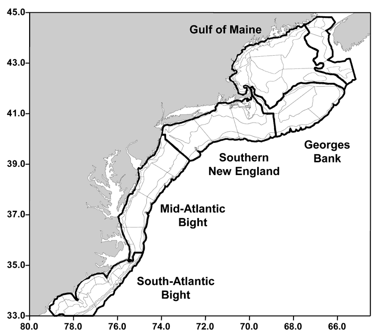
English: Map of Northwest Atlantic |
| Date | |
| Source | http://www.nefsc.noaa.gov/nefsc/publications/crd/crd0211/images/f21.gif |
| Author | NOAA |
Licensing edit
This image is in the public domain because it contains materials that originally came from the U.S. National Oceanic and Atmospheric Administration, taken or made as part of an employee's official duties.
|
File history
Click on a date/time to view the file as it appeared at that time.
| Date/Time | Thumbnail | Dimensions | User | Comment | |
|---|---|---|---|---|---|
| current | 13:27, 18 May 2012 | | 745 × 656 (31 KB) | Anna Frodesiak (talk | contribs) |
You cannot overwrite this file.
File usage on Commons
The following page uses this file:
- File:Scotian Shelf.gif (file redirect)
File usage on other wikis
The following other wikis use this file:
- Usage on en.wikipedia.org