File:Nowy Duninów (gmina) location map.png
Size of this preview: 800 × 463 pixels. Other resolutions: 320 × 185 pixels | 640 × 371 pixels | 1,321 × 765 pixels.
Original file (1,321 × 765 pixels, file size: 144 KB, MIME type: image/png)
Captions
Captions
Add a one-line explanation of what this file represents
| Description |
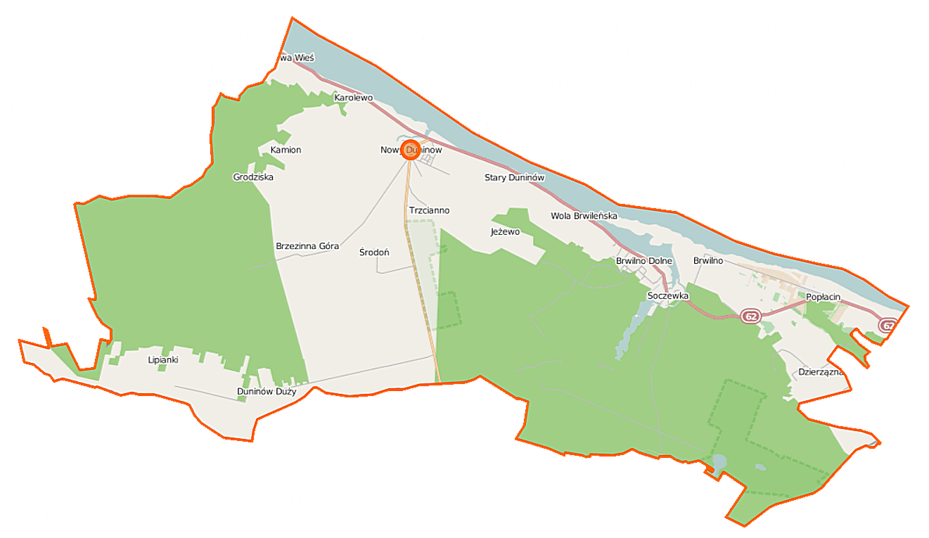
Polski: Mapa gminy Nowy Duninów, Polska
English: Map of Gmina Nowy Duninów, Poland |
|||||||||
| Date | ||||||||||
| Source | You may find a page on the OpenStreetMap wiki page for Nowy Duninów (gmina) | |||||||||
| Creator |
OpenStreetMap contributors OpenStreetMap contributors |
|||||||||
| Permission (Reusing this file) |
OpenStreetMap data is available under the Open Database License (details). Map tiles are licensed under the Creative Commons Attribution-ShareAlike 2.0 license (CC-BY-SA 2.0).
This file is licensed under the Creative Commons Attribution-Share Alike 2.0 Generic license.
|
|||||||||
| Geotemporal data | ||||||||||
| Bounding box |
|
|||||||||
| Georeferencing | If inappropriate please set warp_status = skip to hide. | |||||||||
File history
Click on a date/time to view the file as it appeared at that time.
| Date/Time | Thumbnail | Dimensions | User | Comment | |
|---|---|---|---|---|---|
| current | 06:20, 18 September 2014 | | 1,321 × 765 (144 KB) | VanWiel (talk | contribs) | |
| 08:44, 1 June 2014 |  | 1,000 × 578 (308 KB) | VanWiel (talk | contribs) | {{OpenStreetMap | name = Nowy Duninów (gmina) | location = Nowy Duninów (gmina) | description = {{pl|Mapa gminy Nowy Duninów, Polska}} {{en|Map of Gmina Nowy Duninów, Poland}} | top = 52.6151 | left... |
You cannot overwrite this file.
File usage on Commons
There are no pages that use this file.
File usage on other wikis
The following other wikis use this file:
- Usage on fr.wikipedia.org
- Usage on nl.wikipedia.org
- Usage on pl.wikipedia.org
- Nowy Duninów (gmina)
- Nowy Duninów
- Stary Duninów
- Brwilno Dolne
- Brzezinna Góra
- Duninów Duży
- Popłacin
- Soczewka (województwo mazowieckie)
- Środoń
- Trzcianno
- Wola Brwileńska
- Dzierzązna (województwo mazowieckie)
- Grodziska (województwo mazowieckie)
- Lipianki (województwo mazowieckie)
- Jeżewo (powiat płocki)
- Kamion (powiat płocki)
- Karolewo (powiat płocki)
- Brwilno (gmina Nowy Duninów)
- Nowa Wieś (gmina Nowy Duninów)
- Pałac w Nowym Duninowie
- Parafia św. Mikołaja w Nowym Duninowie
- Rezerwat przyrody Kresy
- Kobyle Błoto
- Krzywy Kołek
- Studzianka (województwo mazowieckie)
- Chatka Kobyle Błota
- Moduł:Mapa/dane/Nowy Duninów (gmina)
- Kościół Niepokalanego Poczęcia Najświętszej Maryi Panny w Nowym Duninowie
- Kościół Matki Boskiej Częstochowskiej w Soczewce
- Parafia Matki Boskiej Częstochowskiej w Soczewce
- Usage on pl.wikibooks.org
- Usage on www.wikidata.org
_location_map.png&oldid=519985842)