File:Nullpunkt in Magdeburg, Reiterdenkmal Otto I (1).jpg

Size of this preview: 450 × 600 pixels. Other resolutions: 180 × 240 pixels | 360 × 480 pixels | 576 × 768 pixels | 768 × 1,024 pixels | 1,536 × 2,048 pixels.
Original file (1,536 × 2,048 pixels, file size: 379 KB, MIME type: image/jpeg)
Captions
Captions
Add a one-line explanation of what this file represents
Summary
edit.jpg&action=edit§ion=1)
| Description |
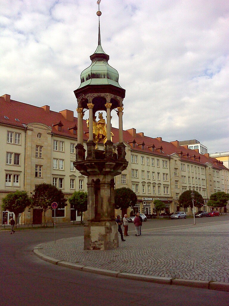
Deutsch: Nullpunkt in Magdeburg, Denkmal Ottos I (Magdeburger Reiter), auf dem Alten Markt
This is a photograph of an architectural monument. It is on the list of cultural monuments of Magdeburger Altstadt, no. 094 06409. |
||
| Date | Taken on 17 September 2023, 09:38:13 | ||
| Source | Self-photographed | ||
| Author | Manfred Schröter, Berga |
| Camera location | | View this and other nearby images on: OpenStreetMap |
|---|
.jpg¶ms=052.131548_N_0011.639459_E_globe:Earth_type:camera_heading:262.58&language=en)
Licensing
edit.jpg&action=edit§ion=2)
Manfred Schröter, Berga, the copyright holder of this work, hereby publishes it under the following license:
This file is licensed under the Creative Commons Attribution-Share Alike 4.0 International license.
Attribution: Manfred Schröter, Berga
- You are free:
- to share – to copy, distribute and transmit the work
- to remix – to adapt the work
- Under the following conditions:
- attribution – You must give appropriate credit, provide a link to the license, and indicate if changes were made. You may do so in any reasonable manner, but not in any way that suggests the licensor endorses you or your use.
- share alike – If you remix, transform, or build upon the material, you must distribute your contributions under the same or compatible license as the original.

|
This image was uploaded as part of Wiki Loves Monuments 2023.
|
File history
Click on a date/time to view the file as it appeared at that time.
| Date/Time | Thumbnail | Dimensions | User | Comment | |
|---|---|---|---|---|---|
| current | 17:17, 22 September 2023 | | 1,536 × 2,048 (379 KB) | Manfred Schröter, Berga (talk | contribs) | == {{int:filedesc}} == {{Information |description={{de|1=Nullpunkt in Magdeburg, Denkmal Ottos I (Magdeburger Reiter), auf dem alten Marktplatz * de:Nullpunkt der Poststraßenvermessung im de:Herzogtum Magdeburg * ein Nullpunkt der Chausseevermessung in der de:Preußischen Provinz Sachsen {{Kulturdenkmal Sachsen-Anhalt|094 06409}} {{Kulturdenkmal|Typ=Baudenkmal|Ort=[[:de:Liste der Kult... |
You cannot overwrite this file.
File usage on Commons
The following page uses this file:
.jpg&oldid=815386592)