File:ON-Canada-province.png
Size of this preview: 732 × 600 pixels. Other resolutions: 293 × 240 pixels | 586 × 480 pixels | 852 × 698 pixels.
Original file (852 × 698 pixels, file size: 164 KB, MIME type: image/png)
Captions
Captions
Add a one-line explanation of what this file represents
Summary
edit
| Description | |
| Date | |
| Source | Self from GIS data |
| Author | Qyd |
| Permission (Reusing this file) |
All |
Licensing
edit
| I, the copyright holder of this work, release this work into the public domain. This applies worldwide. In some countries this may not be legally possible; if so: I grant anyone the right to use this work for any purpose, without any conditions, unless such conditions are required by law. |
File history
Click on a date/time to view the file as it appeared at that time.
| Date/Time | Thumbnail | Dimensions | User | Comment | |
|---|---|---|---|---|---|
| current | 22:40, 1 December 2006 | | 852 × 698 (164 KB) | Qyd (talk | contribs) | refine contour |
| 19:43, 24 November 2006 |  | 852 × 698 (145 KB) | Qyd (talk | contribs) | adjust boundaries | |
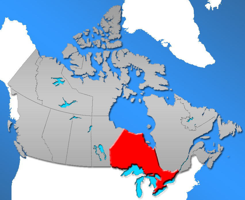
| 20:29, 28 May 2006 |  | 852 × 698 (184 KB) | Qyd (talk | contribs) | {{Information |Description=Province of Ontario in Canada |Source=Self from GIS data |Date=May 2006 |Author=Qyd |Permission=All |other_versions= }} Category:Maps of Canada Category:Maps of Ontario |
You cannot overwrite this file.
File usage on Commons
The following 2 pages use this file:
File usage on other wikis
The following other wikis use this file:
- Usage on cs.wikipedia.org
- Usage on de.wikipedia.org
- Usage on en.wikipedia.org
- List of unincorporated communities in Ontario
- Index of Ontario-related articles
- Wikipedia:WikiProject Ontario
- Demographics of Ontario
- Wikipedia:WikiProject Ontario/Kawartha Lakes
- Wikipedia:WikiProject Ontario/Kawartha Lakes/Navigation
- Index of Manitoba-related articles
- Index of Nunavut-related articles
- Usage on sk.wikipedia.org