File:Oita géolocalisation.svg

Size of this PNG preview of this SVG file: 593 × 572 pixels. Other resolutions: 249 × 240 pixels | 498 × 480 pixels | 796 × 768 pixels | 1,062 × 1,024 pixels | 2,123 × 2,048 pixels.
Original file (SVG file, nominally 593 × 572 pixels, file size: 1.95 MB)
Captions
Captions
Add a one-line explanation of what this file represents
Summary
edit| Description |
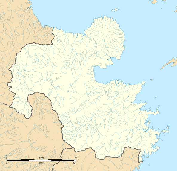
Français : Carte administrative vierge de la préfecture d'Oita.
English: Blank administrative map of the Oita prefecture. |
| Date | |
| Source |
Own work Sources of data : |
| Author | Flappiefh |
| Other versions |
|

Licensing
edit
I, the copyright holder of this work, hereby publish it under the following license:
This file is licensed under the Creative Commons Attribution-Share Alike 4.0 International license.
- You are free:
- to share – to copy, distribute and transmit the work
- to remix – to adapt the work
- Under the following conditions:
- attribution – You must give appropriate credit, provide a link to the license, and indicate if changes were made. You may do so in any reasonable manner, but not in any way that suggests the licensor endorses you or your use.
- share alike – If you remix, transform, or build upon the material, you must distribute your contributions under the same or compatible license as the original.
File history
Click on a date/time to view the file as it appeared at that time.
| Date/Time | Thumbnail | Dimensions | User | Comment | |
|---|---|---|---|---|---|
| current | 17:13, 24 October 2016 | | 593 × 572 (1.95 MB) | Flappiefh (talk | contribs) |
You cannot overwrite this file.
File usage on Commons
The following 2 pages use this file:
File usage on other wikis
The following other wikis use this file:
- Usage on de.wikipedia.org
- Usage on en.wikipedia.org
- Ōita Station
- Oita Airport
- Beppu Station
- Yufuin Station
- Usuki Station (Ōita)
- Hita Station
- Yoake Station
- Teruoka Station
- Ōzai Station
- Usa Station
- Nakatsu Station (Ōita)
- Saiki Station
- Kitsuki Station
- Tsukumi Station
- Yanagigaura Station
- Bungo-Taketa Station
- Miemachi Station
- Bungo-Mori Station
- Bungo-Nakamura Station
- Amagase Station
- Inukai Station
- Hiji Station
- Higashi-Nakatsu Station
- Imazu Station (Ōita)
- Amatsu Station
- Buzen-Zenkōji Station
- Buzen-Nagasu Station
- Nishiyashiki Station
- Tateishi Station
- Naka-Yamaga Station
- Ōga Station
- Yōkoku Station
- Bungo-Toyooka Station
- Kamegawa Station
- Beppu Daigaku Station
- Higashi-Beppu Station
- Nishi-Ōita Station
- Maki Station (Ōita)
- Takajō Station
- Tsurusaki Station
- Sakanoichi Station
- Kōzaki Station (Ōita)
- Hishiro Station
- Sashiu Station
- Shitanoe Station
- Kumasaki Station
- Kami-Usuki Station
- Azamui Station
View more global usage of this file.