File:Ok-51 path.png

Size of this preview: 800 × 488 pixels. Other resolutions: 320 × 195 pixels | 640 × 391 pixels | 944 × 576 pixels.
Original file (944 × 576 pixels, file size: 65 KB, MIME type: image/png)
Captions
Captions
Add a one-line explanation of what this file represents
Summary
edit
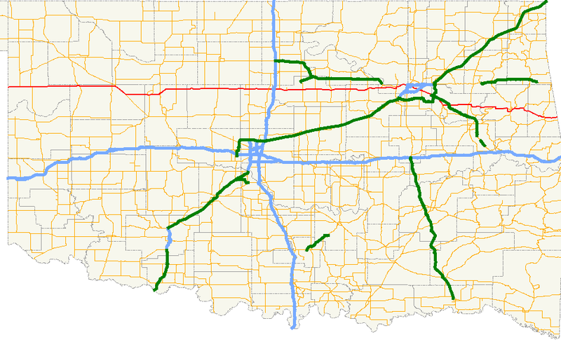
| Description | A map showing the path of State Highway 51 and its spurs in Oklahoma. |
| Date | |
| Source |
Created by me in Quantum GIS 0.8.0 based on data collected from http://www.geo.ou.edu/. |
| Author | Scott Nazelrod |
| Permission (Reusing this file) |
Public domain, credit appreciated but not required |
Licensing
edit
| I, the copyright holder of this work, release this work into the public domain. This applies worldwide. In some countries this may not be legally possible; if so: I grant anyone the right to use this work for any purpose, without any conditions, unless such conditions are required by law. |
File history
Click on a date/time to view the file as it appeared at that time.
| Date/Time | Thumbnail | Dimensions | User | Comment | |
|---|---|---|---|---|---|
| current | 18:38, 23 February 2007 | | 944 × 576 (65 KB) | Scott5114 (talk | contribs) | {{Information |Description=A map showing the path of State Highway 51 and its spurs in Oklahoma. |Source=Created by me in Quantum GIS 0.8.0 based on data collected from http://www.geo.ou.edu/. |Date=23 February [[2007] |
You cannot overwrite this file.
File usage on Commons
The following page uses this file:
File usage on other wikis
The following other wikis use this file:
- Usage on en.wikipedia.org
- Usage on www.wikidata.org