File:Okinawa géolocalisation.svg

Size of this PNG preview of this SVG file: 593 × 377 pixels. Other resolutions: 320 × 203 pixels | 640 × 407 pixels | 1,024 × 651 pixels | 1,280 × 814 pixels | 2,560 × 1,628 pixels.
Original file (SVG file, nominally 593 × 377 pixels, file size: 332 KB)
Captions
Captions
Add a one-line explanation of what this file represents
Summary
edit| Description |
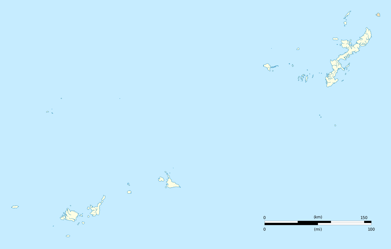
Français : Carte administrative vierge de la préfecture d'Okinawa.
English: Blank administrative map of the Okinawa prefecture. |
| Date | |
| Source |
Own work Sources of data : |
| Author | Flappiefh |
| Other versions |
|

Licensing
edit
I, the copyright holder of this work, hereby publish it under the following license:
This file is licensed under the Creative Commons Attribution-Share Alike 4.0 International license.
- You are free:
- to share – to copy, distribute and transmit the work
- to remix – to adapt the work
- Under the following conditions:
- attribution – You must give appropriate credit, provide a link to the license, and indicate if changes were made. You may do so in any reasonable manner, but not in any way that suggests the licensor endorses you or your use.
- share alike – If you remix, transform, or build upon the material, you must distribute your contributions under the same or compatible license as the original.
File history
Click on a date/time to view the file as it appeared at that time.
| Date/Time | Thumbnail | Dimensions | User | Comment | |
|---|---|---|---|---|---|
| current | 17:13, 24 October 2016 | | 593 × 377 (332 KB) | Flappiefh (talk | contribs) |
You cannot overwrite this file.
File usage on Commons
The following 2 pages use this file:
File usage on other wikis
The following other wikis use this file:
- Usage on de.wikipedia.org
- Usage on en.wikipedia.org
- Naha Airport
- Zakimi Castle
- Katsuren Castle
- New Ishigaki Airport
- Yonaguni Airport
- Kumejima Airport
- Miyako Airport
- Kerama Airport
- Aguni Airport
- Tarama Airport
- Hateruma Airport
- Shimojishima Airport
- Iejima Airport
- Irabu Prefectural Natural Park
- Iha Castle
- Chibana Castle
- Agena Castle
- Chinen Castle
- Gushikawa Castle (Itoman)
- Itokazu Castle
- Kyan Castle
- Chinaha Castle
- Gushikawa Castle (Kume)
- Asahibashi Station
- Furusutobaru Castle
- 2020 Summer Olympics torch relay
- Module:Location map/data/Japan Okinawa Prefecture
- Module:Location map/data/Japan Okinawa Prefecture/doc
- Wikipedia:Graphics Lab/Map workshop/Archive/Aug 2019
- Usage on eo.wikipedia.org
- Usage on fr.wikipedia.org
- Château de Shuri
- Utilisateur:Flappiefh/Bac à sable/Projet:Géolocalisation
- Wikipédia:Atelier modèle de géolocalisation
- Aéroport de Naha
- Modèle:Géolocalisation/Préfecture d'Okinawa
- Module:Carte/données/préfecture d'okinawa
- Wikipédia:Atelier graphique/Cartes/Archives/novembre 2016
- Collège doctoral de science et technologie d'Okinawa
- Aéroport d'Ishigaki
- USS Callaghan (DD-792)
- USS Little (DD-803)
- Aérodrome de l'île d'Yonaguni
- Modèle:Carte/Aéroports en Asie/Japon/Préfecture d'Okinawa
- Aérodrome de Miyako
- Aéroport de l'île de Kume
View more global usage of this file.