File:Oklahoma State Highway 33.svg

Size of this PNG preview of this SVG file: 385 × 385 pixels. Other resolutions: 240 × 240 pixels | 480 × 480 pixels | 768 × 768 pixels | 1,024 × 1,024 pixels | 2,048 × 2,048 pixels.
Original file (SVG file, nominally 385 × 385 pixels, file size: 15 KB)
Captions
Captions
Add a one-line explanation of what this file represents
Summary
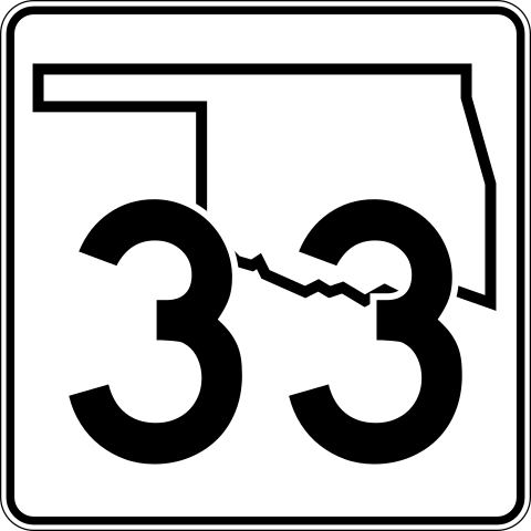
edit| Description | An Oklahoma State Highway 33 shield, made to the specifications of the sign detail. Uses the Roadgeek 2005 fonts. (United States law does not permit the copyrighting of typeface designs, and the fonts are meant to be copies of a U.S. Government-produced work anyway.) The outside border has a width of 1 (1/16 in) and a color of black so it shows up; in reality, signs have no outside border. | |||
| Date | 12 August 2006 | |||
| Source | Image:Oklahoma State Highway numbered road shields.svg | |||
| Author | SPUI | |||
| Permission (Reusing this file) |
|

Licensing
edit
| I, the copyright holder of this work, release this work into the public domain. This applies worldwide. In some countries this may not be legally possible; if so: I grant anyone the right to use this work for any purpose, without any conditions, unless such conditions are required by law. |
File history
Click on a date/time to view the file as it appeared at that time.
| Date/Time | Thumbnail | Dimensions | User | Comment | |
|---|---|---|---|---|---|
| current | 19:27, 29 October 2006 | | 385 × 385 (15 KB) | Scott5114 (talk | contribs) | SPUI's version |
| 06:38, 15 June 2006 |  | 775 × 776 (9 KB) | Scott5114 (talk | contribs) | An Oklahoma State Highway 33 shield, in the 2006 design. Created by User:Scott5114 in Inkscape 0.43. Uses the [http://www.triskele.com/fonts Roadgeek 2005 Series D font] by Michael Adams. Category:Oklahoma highway shields |
You cannot overwrite this file.
File usage on Commons
The following 3 pages use this file:
File usage on other wikis
The following other wikis use this file:
- Usage on bn.wikipedia.org
- Usage on en.wikipedia.org
- Roger Mills County, Oklahoma
- Payne County, Oklahoma
- Logan County, Oklahoma
- Kingfisher County, Oklahoma
- Custer County, Oklahoma
- Creek County, Oklahoma
- U.S. Route 270
- U.S. Route 177
- Oklahoma State Highway 97
- Turner Turnpike
- List of state highways in Oklahoma
- Oklahoma State Highway 66
- Oklahoma State Highway 74
- Oklahoma State Highway 99
- Oklahoma State Highway 3
- Oklahoma State Highway 8
- Texas State Highway 33
- List of highways numbered 33
- Oklahoma State Highway 108
- Oklahoma State Highway 33
- Oklahoma State Highway 105
- Oklahoma State Highway 18
- Oklahoma State Highway 117
- Oklahoma State Highway 16
- Oklahoma State Highway 30
- Oklahoma State Highway 32
- Oklahoma State Highway 34
- Oklahoma State Highway 47
- Oklahoma State Highway 48
- Oklahoma State Highway 44
- Wikipedia:WikiProject U.S. Roads/Redirects/Oklahoma
- Oklahoma State Highway 54
- Oklahoma State Highway 58
- Interstate 35 in Oklahoma
- U.S. Route 77 in Oklahoma
- Wikipedia:WikiProject U.S. Roads/Oklahoma/History
- Wikipedia:WikiProject U.S. Roads/Oklahoma/Checklist
- Interstate 44 in Oklahoma
- User:Scott5114/SandboxC
- U.S. Route 81 in Oklahoma
- User:Scott5114/I-44
- U.S. Route 75 Alternate (Beggs–Sapulpa, Oklahoma)
- Wikipedia:WikiProject U.S. Roads/Oklahoma/Status
- List of bridges documented by the Historic American Engineering Record in Oklahoma
- User:Kinu/Sandbox2
- User:Bramwellelijah7/Test
- Usage on en.wikivoyage.org
- Usage on es.wikipedia.org
View more global usage of this file.