File:Okresy - slepá mapa.png
Size of this preview: 800 × 462 pixels. Other resolutions: 320 × 185 pixels | 640 × 370 pixels | 1,024 × 592 pixels | 1,280 × 740 pixels | 2,560 × 1,479 pixels | 3,845 × 2,222 pixels.
Original file (3,845 × 2,222 pixels, file size: 939 KB, MIME type: image/png)
Captions
Captions
Add a one-line explanation of what this file represents
Summary
edit
| Description |
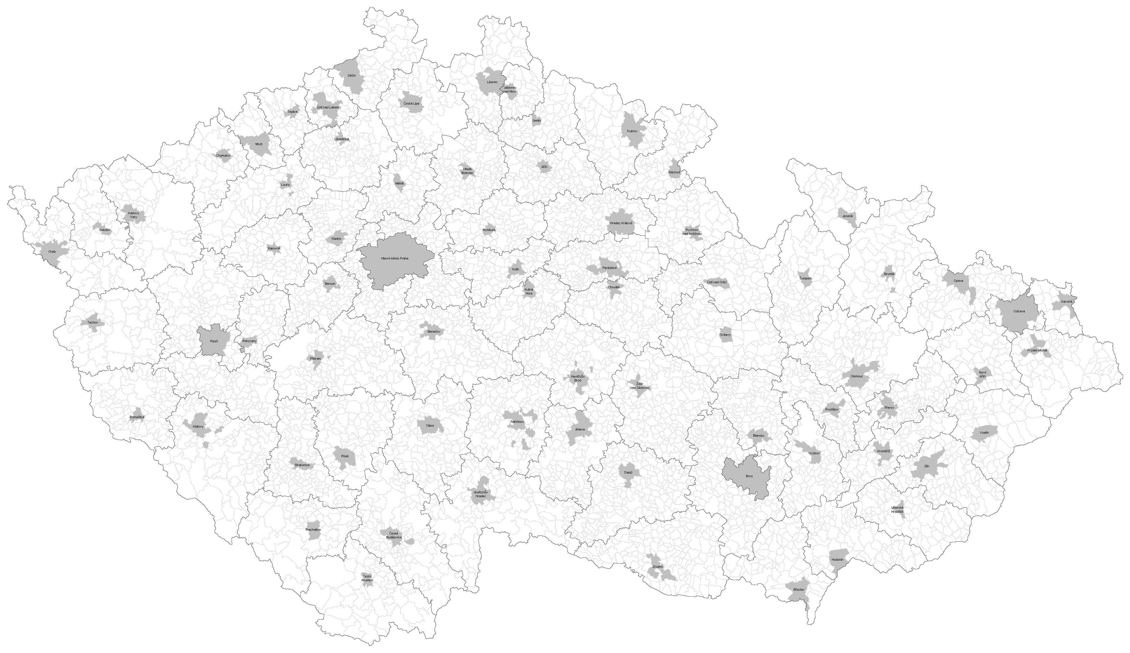
Čeština: Slepá mapa okresů, okresních měst a hlavního města v České republice |
| Date | |
| Source |
This file was derived from: Slepá mapa obcí.png: |
| Author |
|
| This is a retouched picture, which means that it has been digitally altered from its original version. Modifications: added borders of districts and colored district cities. The original can be viewed here: Slepá mapa obcí.png:
|
Licensing
edit
This file is licensed under the Creative Commons Attribution-Share Alike 3.0 Unported license.
- You are free:
- to share – to copy, distribute and transmit the work
- to remix – to adapt the work
- Under the following conditions:
- attribution – You must give appropriate credit, provide a link to the license, and indicate if changes were made. You may do so in any reasonable manner, but not in any way that suggests the licensor endorses you or your use.
- share alike – If you remix, transform, or build upon the material, you must distribute your contributions under the same or compatible license as the original.
File history
Click on a date/time to view the file as it appeared at that time.
| Date/Time | Thumbnail | Dimensions | User | Comment | |
|---|---|---|---|---|---|
| current | 19:45, 13 January 2014 | | 3,845 × 2,222 (939 KB) | Norik~commonswiki (talk | contribs) | names |
| 13:25, 5 January 2014 |  | 3,845 × 2,222 (928 KB) | Norik~commonswiki (talk | contribs) | User created page with UploadWizard |
You cannot overwrite this file.
File usage on Commons
There are no pages that use this file.
File usage on other wikis
The following other wikis use this file:
- Usage on cs.wikipedia.org