File:Old Georgetown Rd bike lanes Bethesda MD 20210415 085733 1 crop.jpg

Size of this preview: 800 × 450 pixels. Other resolutions: 320 × 180 pixels | 640 × 360 pixels | 1,024 × 576 pixels | 1,280 × 720 pixels | 2,560 × 1,440 pixels | 3,770 × 2,121 pixels.
Original file (3,770 × 2,121 pixels, file size: 6.77 MB, MIME type: image/jpeg)
Captions
Captions
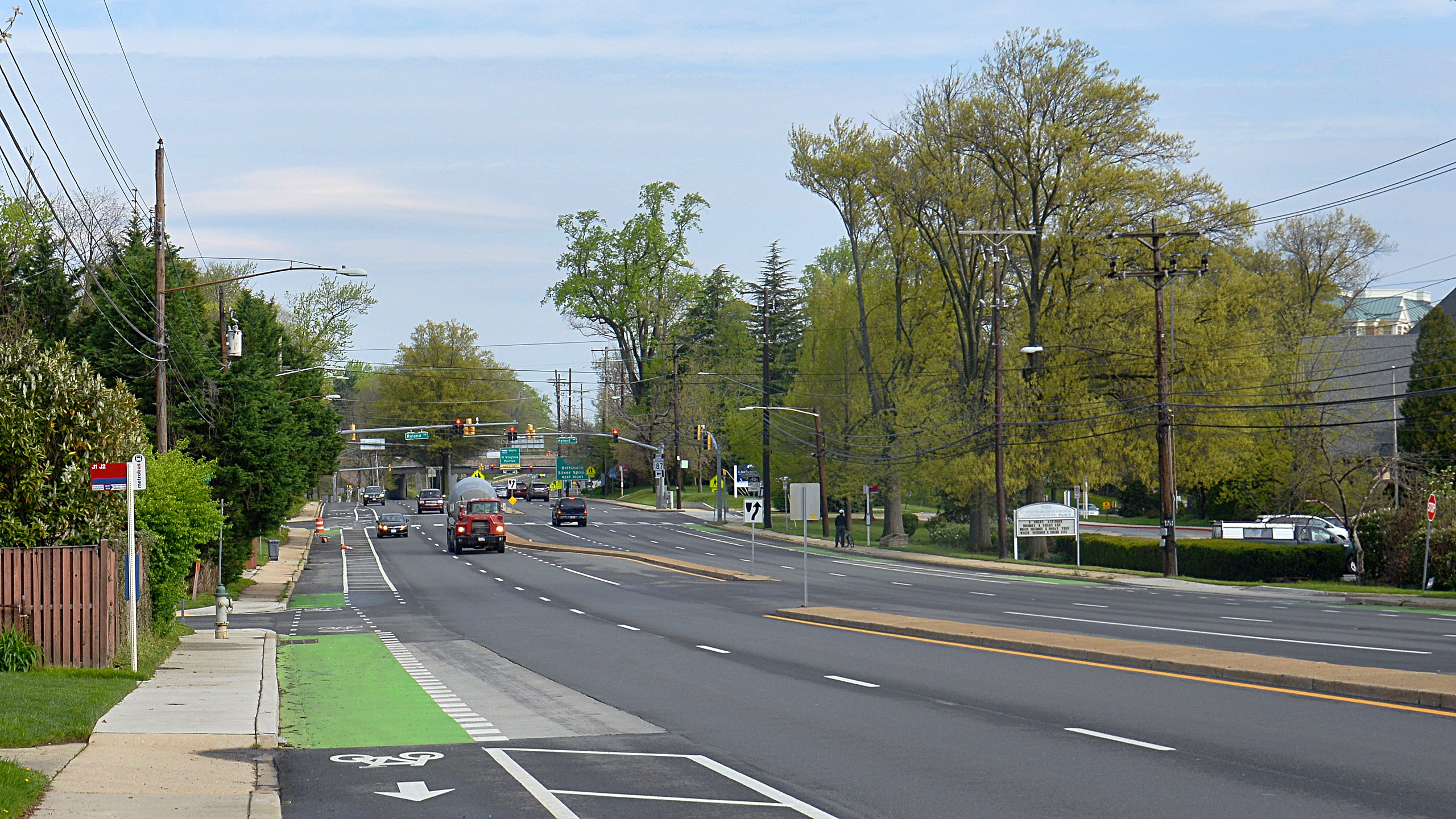
Bike lanes along Old Georgetown Road
Summary
edit
| Description |
English: Bike lanes at the intersection with Wyngate Dr and Old Georgetown Road. The bike lanes are painted green where they are shared with turning cars. In the distance you can see the intersection with Ryland Drive, this is where the bike lanes start and there is a traffic barrel and cones to make them more visible. |
| Date | Taken on 15 April 2021, 08:57:33 |
| Source | Own work |
| Author | G. Edward Johnson |
| keywords | Bike lane, road, roadway, traffic, turn lane, bus stop |
| Camera location | | View this and other nearby images on: OpenStreetMap |
|---|
Old Georgetown Rd and Wyngate Dr, Bethesda, MD
This photo was taken with Nikon D800
Licensing
edit
I, the copyright holder of this work, hereby publish it under the following license:
This file is licensed under the Creative Commons Attribution 4.0 International license.
- You are free:
- to share – to copy, distribute and transmit the work
- to remix – to adapt the work
- Under the following conditions:
- attribution – You must give appropriate credit, provide a link to the license, and indicate if changes were made. You may do so in any reasonable manner, but not in any way that suggests the licensor endorses you or your use.
File history
Click on a date/time to view the file as it appeared at that time.
| Date/Time | Thumbnail | Dimensions | User | Comment | |
|---|---|---|---|---|---|
| current | 23:53, 17 April 2021 | | 3,770 × 2,121 (6.77 MB) | Lorax (talk | contribs) | Uploaded own work with UploadWizard |
You cannot overwrite this file.
File usage on Commons
The following page uses this file: