File:Onneto (Nemuro) Aerial-1978.jpg

Size of this preview: 800 × 448 pixels. Other resolutions: 320 × 179 pixels | 640 × 358 pixels | 1,024 × 573 pixels | 1,280 × 716 pixels | 2,560 × 1,432 pixels | 6,030 × 3,374 pixels.
Original file (6,030 × 3,374 pixels, file size: 3.13 MB, MIME type: image/jpeg)
Captions
Captions
Add a one-line explanation of what this file represents
Summary edit
_Aerial-1978.jpg&action=edit§ion=1)
| Description |
|
| Date | |
| Source | |
| Author | Ministry of Land, Infrastructure and Transport Government of Japan. and KAMUI combine the images. |
Licensing edit
_Aerial-1978.jpg&action=edit§ion=2)

|
The copyright holder of this file, the Ministry of Land, Infrastructure, Transport and Tourism of Japan, allows anyone to use it for any purpose, provided that the copyright holder is properly attributed. Redistribution, derivative work, commercial use, and all other use is permitted. |
Attribution:
Copyright © National Land Image Information (Color Aerial Photographs), Ministry of Land, Infrastructure, Transport and Tourism
|
 |
This image is copyrighted by the Ministry of Land, Infrastructure, Transport and Tourism of Japan. For terms of use, see the stipulation to use of National Land Information (in Japanese) and message from MLIT (in Japanese and English). When you display this image on an article, include the following phrase in the description: "Made based on National Land Image Information (Color Aerial Photographs), Ministry of Land, Infrastructure, Transport and Tourism".
|
File history
Click on a date/time to view the file as it appeared at that time.
| Date/Time | Thumbnail | Dimensions | User | Comment | |
|---|---|---|---|---|---|
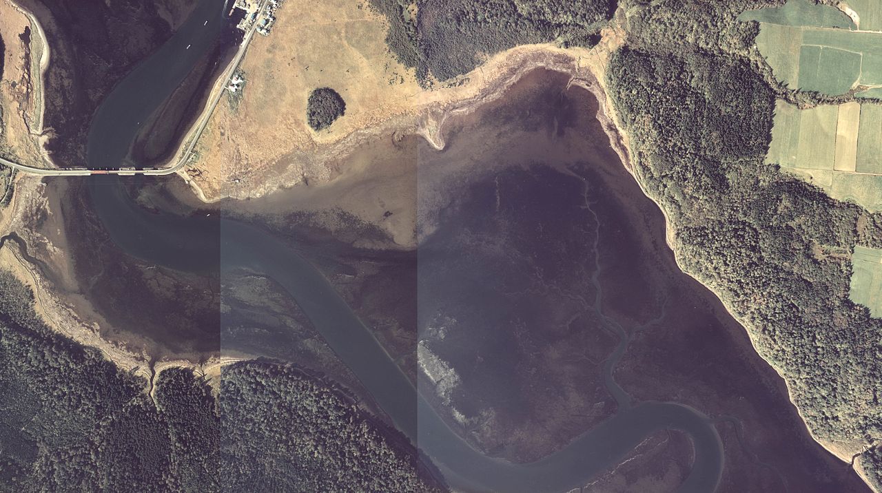
| current | 10:57, 22 October 2013 | | 6,030 × 3,374 (3.13 MB) | KAMUI (talk | contribs) | {{Information |Description= *Onnetô, 1978. :Loc: Nemuro city, Hokkaido Prefecture, Japan. *ja:温根沼と温根沼大橋(1978年)。澪筋が判るように国土航空写真を3枚結合。 :*撮影場所 北海道根室市 |S... |
You cannot overwrite this file.
File usage on Commons
There are no pages that use this file.
File usage on other wikis
The following other wikis use this file:
- Usage on ja.wikipedia.org
_Aerial-1978.jpg&oldid=791083732)