File:Ontario 405.svg

Size of this PNG preview of this SVG file: 377 × 599 pixels. Other resolutions: 151 × 240 pixels | 302 × 480 pixels | 483 × 768 pixels | 644 × 1,024 pixels | 1,288 × 2,048 pixels | 458 × 728 pixels.
Original file (SVG file, nominally 458 × 728 pixels, file size: 97 KB)
Captions
Captions
Add a one-line explanation of what this file represents
| This Canadian work is in the public domain worldwide because it was subject to Crown copyright and was first published before December 31, 1973.
According to Public Works and Government Services Canada / Travaux publics et Services gouvernementaux Canada, Canada has no intention of renewing expired Crown Copyright works in any country, and consequently the URAA does not apply. An email is on record at ticket:2013122310013986. |
 | |
|
| ||
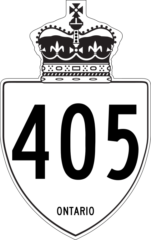
This is a rough approximation of the marker used on King's Highways in Ontario, modified from Image:Ontario Junction template.svg.
File history
Click on a date/time to view the file as it appeared at that time.
| Date/Time | Thumbnail | Dimensions | User | Comment | |
|---|---|---|---|---|---|
| current | 05:39, 27 April 2019 | | 458 × 728 (97 KB) | Fredddie (talk | contribs) | redrawn |
| 20:20, 1 February 2010 |  | 210 × 340 (104 KB) | Floydian (talk | contribs) | update to newer version, old version moved to File:Ontario 405 jct.svg | |
| 20:31, 10 September 2007 |  | 289 × 289 (8 KB) | NE2 (talk | contribs) | {{PD-ineligible}} This is a rough approximation of the marker used on King's Highways in Ontario, modified from Image:Ontario Junction template.svg. 405 |
You cannot overwrite this file.
File usage on Commons
The following 3 pages use this file:
File usage on other wikis
The following other wikis use this file:
- Usage on de.wikipedia.org
- Usage on en.wikipedia.org
- 400-series highways
- Ontario Highway 404
- Ontario Highway 405
- Ontario Highway 406
- List of crossings of the St. Lawrence River and the Great Lakes
- List of highways numbered 405
- Niagara International Transportation Technology Coalition
- List of Ontario provincial highways
- National Highway System (Canada)
- Template:Infobox road/testcases
- User:Floydian/To do
- Template:Routelist row/testcases
- Talk:400-series highways/Archive 1
- User:Morriswa/Clinched highways/Interstates
- Template:Routelist row/testcases/base
- User:Morriswa/Clinched highways/County and other highways
- Template talk:Infobox road/Archive 8
- Usage on en.wikivoyage.org
- Usage on es.wikipedia.org
- Usage on fa.wikipedia.org
- Usage on fr.wikipedia.org
- Usage on simple.wikipedia.org
- Usage on uk.wikipedia.org
- Usage on www.wikidata.org
- Usage on zh.wikipedia.org