File:Orangerie (2), Rockwinkeler Landstrasse 41 (2012-04).jpg

Size of this preview: 800 × 489 pixels. Other resolutions: 320 × 196 pixels | 640 × 391 pixels | 1,024 × 626 pixels | 1,280 × 782 pixels | 2,500 × 1,528 pixels.
Original file (2,500 × 1,528 pixels, file size: 1.56 MB, MIME type: image/jpeg)
Captions
Captions
Add a one-line explanation of what this file represents
Summary edit
| Description |
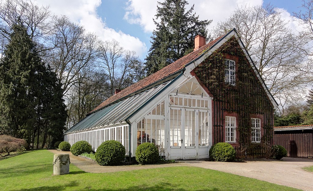
Deutsch: Orangerie in Bremen, Rockwinkeler Landstraße 41 The object shown is a protected cultural monument in the Free Hanseatic City of Bremen with the number 1452 registered with the State Office for Monument Preservation. → Datenbankeintrag |
| Date | |
| Source | Own work |
| Author | Godewind (talk) |
| Other versions |
|
,_Rockwinkeler_Landstrasse_41_(2012-04).jpg)
,_Rockwinkeler_Landstrasse_41_(2012-04).jpg)
,_Rockwinkeler_Landstrasse_41_(2012-04).jpg)
,_Rockwinkeler_Landstrasse_41_(2012-04).jpg&action=edit§ion=1)
| Object location | | View this and other nearby images on: OpenStreetMap |
|---|
,_Rockwinkeler_Landstrasse_41_(2012-04).jpg¶ms=053.084111_N_0008.931750_E_globe:Earth_class:object_type:landmark_region:DE-HB_scale:5000_&language=en)

|
This image was uploaded as part of Wiki Loves Monuments 2012.
|
Licensing edit
,_Rockwinkeler_Landstrasse_41_(2012-04).jpg&action=edit§ion=2)
I, the copyright holder of this work, hereby publish it under the following license:
This file is licensed under the Creative Commons Attribution-Share Alike 3.0 Unported license.
- You are free:
- to share – to copy, distribute and transmit the work
- to remix – to adapt the work
- Under the following conditions:
- attribution – You must give appropriate credit, provide a link to the license, and indicate if changes were made. You may do so in any reasonable manner, but not in any way that suggests the licensor endorses you or your use.
- share alike – If you remix, transform, or build upon the material, you must distribute your contributions under the same or compatible license as the original.
File history
Click on a date/time to view the file as it appeared at that time.
| Date/Time | Thumbnail | Dimensions | User | Comment | |
|---|---|---|---|---|---|
| current | 08:40, 12 September 2012 | | 2,500 × 1,528 (1.56 MB) | Godewind (talk | contribs) | {{subst:Bremer Bilder |name=Orangerie in Bremen, Rockwinkeler Landstraße 41 |alt=ED |nr=1452 |lat=53.084111 |lon=8.93175 |comcat=in Bremen-Oberneuland |other versions= <gallery> file:Orangerie (1), Rockwinkeler Landstrasse 41 (2012-04).jpg file:Orange... |
You cannot overwrite this file.
File usage on Commons
The following 4 pages use this file:
File usage on other wikis
The following other wikis use this file:
- Usage on de.wikipedia.org
- Benutzer:Godewind/Bilder/Deutschland 4
- Wikipedia:WikiProjekt Bremen/WLM2012/Ergebnis
- Benutzer:Godewind/Bilder/WLM 2012 Bremen
- Wikipedia:Wiki Loves Monuments 2012/Preisträger Deutschland/51+
- Wikipedia:Wiki Loves Monuments 2012/Publikumspreise/Benutzergalerien mit deren Favoriten
- Bremer Denkmalpflegepreis
,_Rockwinkeler_Landstrasse_41_(2012-04).jpg&oldid=542728647)