File:Oregon Locator Map with US.svg

Size of this PNG preview of this SVG file: 716 × 599 pixels. Other resolutions: 287 × 240 pixels | 574 × 480 pixels | 918 × 768 pixels | 1,224 × 1,024 pixels | 2,447 × 2,048 pixels | 1,998 × 1,672 pixels.
Original file (SVG file, nominally 1,998 × 1,672 pixels, file size: 768 KB)
Captions
Captions
Add a one-line explanation of what this file represents
Summary edit
| Description |
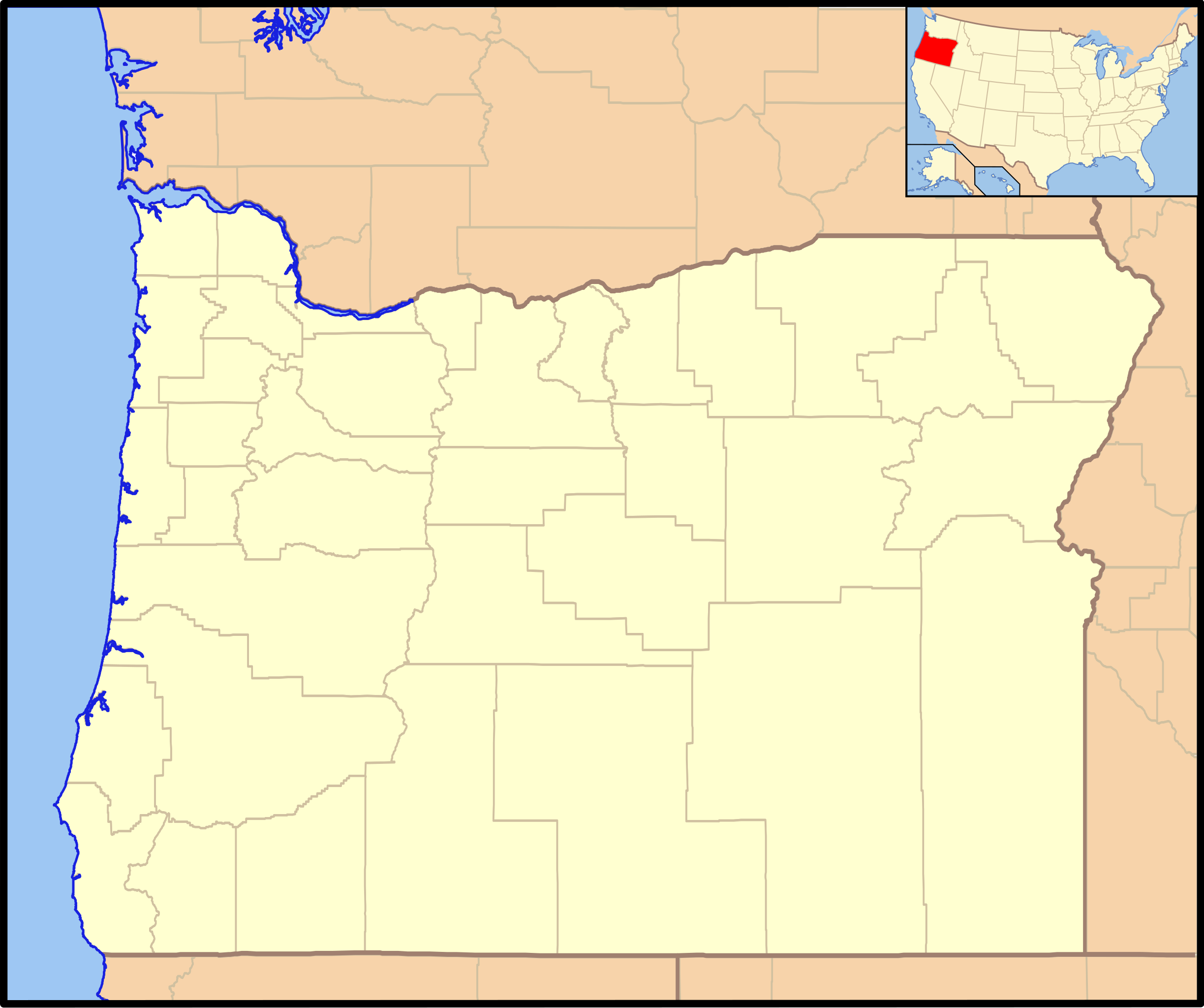
Locator map of Oregon with its location in the United States as an inset This W3C-unspecified vector image was created with Inkscape . |
| Date | |
| Source | National Atlas of the United States and vectorized by User:Dtbohrer |
| Author | National Atlas of the United States, User:Dtbohrer |
Licensing edit
I, the copyright holder of this work, hereby publish it under the following licenses:

|
Permission is granted to copy, distribute and/or modify this document under the terms of the GNU Free Documentation License, Version 1.2 or any later version published by the Free Software Foundation; with no Invariant Sections, no Front-Cover Texts, and no Back-Cover Texts. A copy of the license is included in the section entitled GNU Free Documentation License. |
This file is licensed under the Creative Commons Attribution-Share Alike 4.0 International, 3.0 Unported, 2.5 Generic, 2.0 Generic and 1.0 Generic license.
- You are free:
- to share – to copy, distribute and transmit the work
- to remix – to adapt the work
- Under the following conditions:
- attribution – You must give appropriate credit, provide a link to the license, and indicate if changes were made. You may do so in any reasonable manner, but not in any way that suggests the licensor endorses you or your use.
- share alike – If you remix, transform, or build upon the material, you must distribute your contributions under the same or compatible license as the original.
You may select the license of your choice.
This map was obtained from an edition of the National Atlas of the United States. Like almost all works of the U.S. federal government, works from the National Atlas are in the public domain in the United States.
Online access: NationalAtlas.gov | 1970 print edition: Library of Congress, Perry-Castañeda Library
|
File history
Click on a date/time to view the file as it appeared at that time.
| Date/Time | Thumbnail | Dimensions | User | Comment | |
|---|---|---|---|---|---|
| current | 22:24, 9 February 2010 | | 1,998 × 1,672 (768 KB) | Niagara (talk | contribs) | == {{int:filedesc}} == {{Information |Description= Locator map of Oregon with its location in the United States as an inset {{inkscape}} |Source=[http://nationalatlas.gov National Atlas of the United States] and vectorized |
You cannot overwrite this file.
File usage on Commons
There are no pages that use this file.