File:Oropediolympou.jpg
Size of this preview: 800 × 451 pixels. Other resolutions: 320 × 180 pixels | 640 × 361 pixels | 1,024 × 577 pixels | 1,600 × 902 pixels.
Original file (1,600 × 902 pixels, file size: 654 KB, MIME type: image/jpeg)
Captions
Captions
Add a one-line explanation of what this file represents
Summary
edit
| Description |
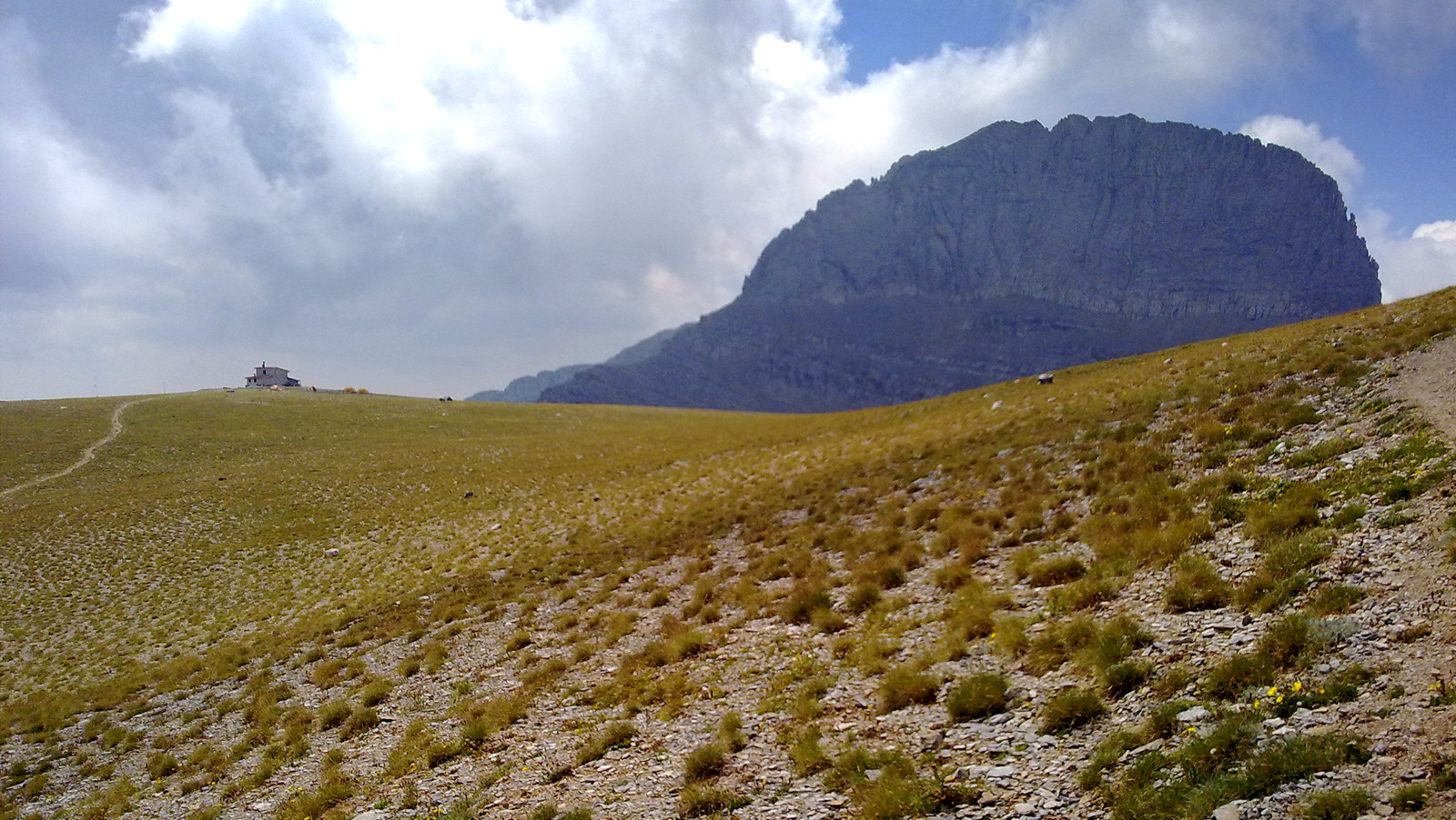
Ελληνικά: Όλυμπος: Οροπέδιο Μουσών, στο βάθος το καταφύγιο "Κάκαλος" και η κορυφή "Στεφάνι". English: Olympus: Muses' plateau. Kakalos shelter and Stefani Peak-Throne of Zeus in the background. |
| Date | |
| Source | Own work by the original uploader |
| Author | Cristo Vlahos / Cyverius at Greek Wikipedia |
| Camera location | | View this and other nearby images on: OpenStreetMap |
|---|
Licensing
edit

|
The copyright holder of this file allows anyone to use it for any purpose, provided that the copyright holder is properly attributed. Redistribution, derivative work, commercial use, and all other use is permitted. |
|
|
Original upload log
edit
Transferred from el.wikipedia to Commons by C messier using CommonsHelper.
The original description page was here. All following user names refer to el.wikipedia.
- 2010-08-27 18:07 Cyverius 1600×902× (670107 bytes) {{Πληροφορίες εικόνας |Περιγραφή=Όλυμπος: Οροπέδιο Μουσών, στο βάθος το καταφύγιο "Κάκαλος" και η κορυφή "Στεφάνι" |Πηγή=Επί τόπου φωτογράφησ
File history
Click on a date/time to view the file as it appeared at that time.
| Date/Time | Thumbnail | Dimensions | User | Comment | |
|---|---|---|---|---|---|
| current | 00:32, 30 December 2013 | | 1,600 × 902 (654 KB) | File Upload Bot (Magnus Manske) (talk | contribs) | Transfered from el.wikipedia by User:C messier using CommonsHelper |
You cannot overwrite this file.
File usage on Commons
There are no pages that use this file.
File usage on other wikis
The following other wikis use this file:
- Usage on ba.wikipedia.org
- Usage on ca.wikipedia.org
- Usage on de.wikivoyage.org
- Usage on en.wikipedia.org
- Usage on ro.wikipedia.org
- Usage on sl.wikipedia.org
- Usage on sq.wikipedia.org
- Usage on vi.wikipedia.org