File:Ostend location map.svg

Size of this PNG preview of this SVG file: 800 × 486 pixels. Other resolutions: 320 × 195 pixels | 640 × 389 pixels | 1,024 × 623 pixels | 1,280 × 778 pixels | 2,560 × 1,557 pixels | 1,393 × 847 pixels.
Original file (SVG file, nominally 1,393 × 847 pixels, file size: 41 KB)
Captions
Captions
Add a one-line explanation of what this file represents
Summary
edit| Description |
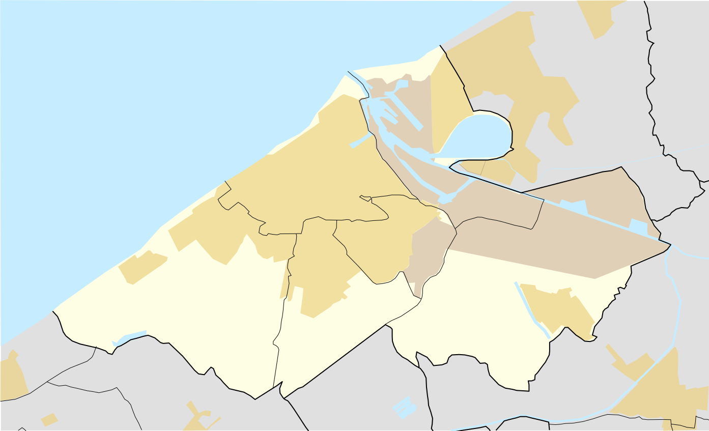
English: Location map of Ostend, West Flanders, Belgium, showing land use. Urban areas Industrial areas
|
||||||||||||
| Date | |||||||||||||
| Source |
This file was derived from: MapOostende.svg |
||||||||||||
| Author | LimoWreck, GrandEscogriffe | ||||||||||||
| Other versions |
|
||||||||||||

Licensing
edit
This file is licensed under the Creative Commons Attribution-Share Alike 4.0 International license.
- You are free:
- to share – to copy, distribute and transmit the work
- to remix – to adapt the work
- Under the following conditions:
- attribution – You must give appropriate credit, provide a link to the license, and indicate if changes were made. You may do so in any reasonable manner, but not in any way that suggests the licensor endorses you or your use.
- share alike – If you remix, transform, or build upon the material, you must distribute your contributions under the same or compatible license as the original.
File history
Click on a date/time to view the file as it appeared at that time.
| Date/Time | Thumbnail | Dimensions | User | Comment | |
|---|---|---|---|---|---|
| current | 22:52, 17 September 2023 | | 1,393 × 847 (41 KB) | GrandEscogriffe (talk | contribs) | plain gray instead of transparent black |
| 22:50, 17 September 2023 |  | 1,393 × 847 (41 KB) | GrandEscogriffe (talk | contribs) | changing color of industrial zone | |
| 22:47, 17 September 2023 |  | 1,393 × 847 (41 KB) | GrandEscogriffe (talk | contribs) | Uploaded a work by {{u|LimoWreck}}, {{u|GrandEscogriffe}} from {{derived from|MapOostende.svg}} with UploadWizard |
You cannot overwrite this file.
File usage on Commons
The following page uses this file:
File usage on other wikis
The following other wikis use this file:
- Usage on fr.wikipedia.org
- Phare d'Ostende
- Europacentrum
- Aéroport d'Ostende-Bruges
- Hippodrome d'Ostende
- Earth Explorer
- Diaz Arena
- Musée d'Art à la mer
- Versluys Dôme
- Domaine provincial de Raversyde
- Hôpital Henri Serruys
- Accident aérien du 16 novembre 1937 à Ostende
- Église des Capucins (Ostende)
- Chapelle-mausolée de la reine Louise
- Modèle:Géolocalisation/Ostende
- Wikipédia:Atelier graphique/Cartes/Archives/septembre 2023
- Usage on nl.wikipedia.org