File:Otok san giorgio - panoramio.jpg
Size of this preview: 800 × 600 pixels. Other resolutions: 320 × 240 pixels | 640 × 480 pixels | 1,024 × 768 pixels | 1,280 × 960 pixels | 2,560 × 1,920 pixels.
Original file (2,560 × 1,920 pixels, file size: 1.09 MB, MIME type: image/jpeg)
Captions
Captions
Add a one-line explanation of what this file represents
Summary
Object
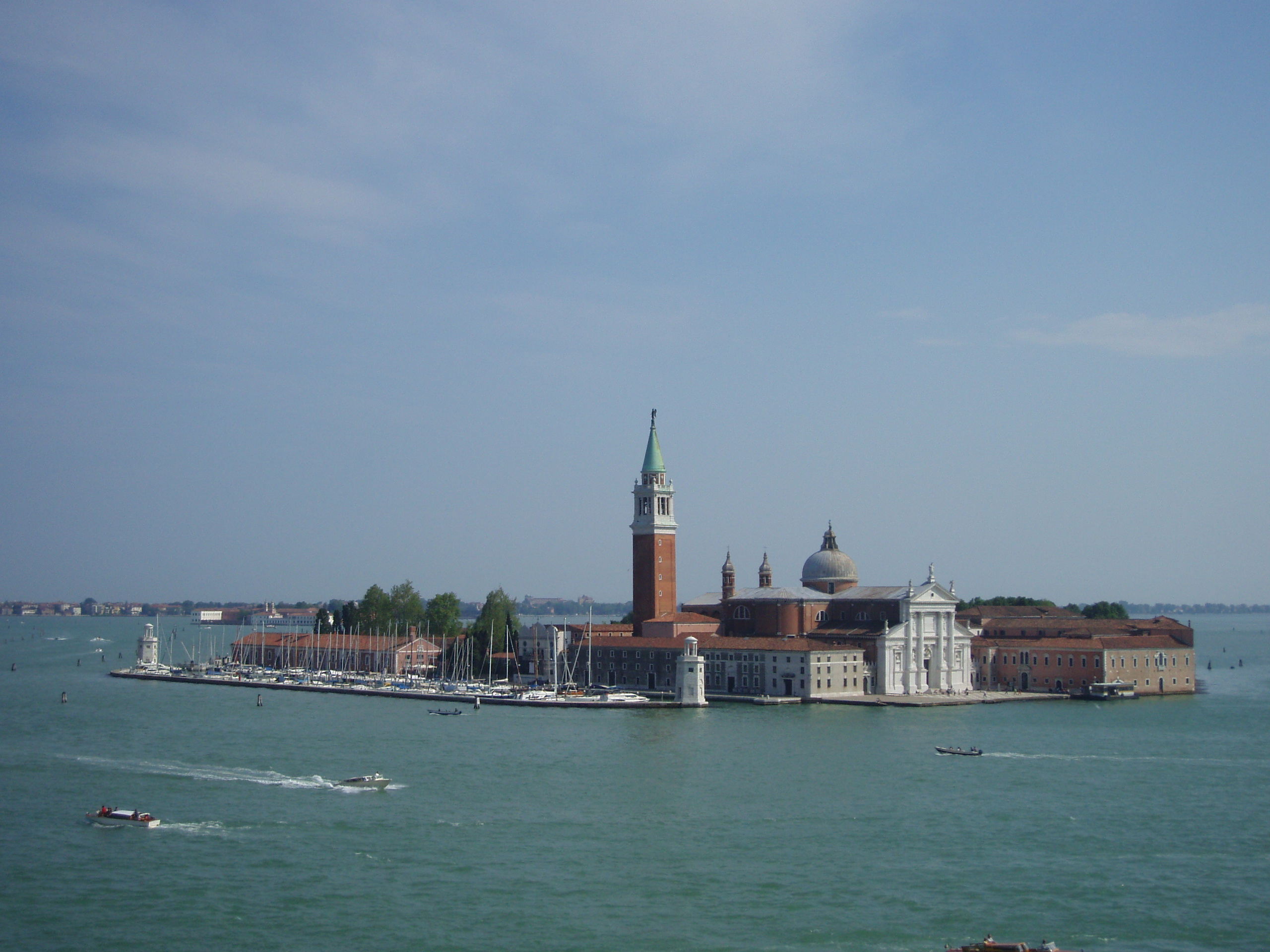
| San Giorgio Maggiore
|
||||
|---|---|---|---|---|
| Title |
San Giorgio Maggiore |
 | ||
| Object type |
island |
|||
| Description |
otok san giorgio |
|||
| Object location |
|
|||
| Object history |
|
|||
| Authority file | ||||
| Other versions |
|
|||


_msu-2021-5834-5830.jpg)
Photograph
| Date | Taken on 2 May 2009 | ||
| Source | https://web.archive.org/web/20161015033243/http://www.panoramio.com/photo/33104888 | ||
| Author | Own work | ||
| Permission (Reusing this file) |
This file is licensed under the Creative Commons Attribution-Share Alike 3.0 Unported license. Attribution: nikola_pu
|
| Camera location | | View this and other nearby images on: OpenStreetMap |
|---|
File history
Click on a date/time to view the file as it appeared at that time.
| Date/Time | Thumbnail | Dimensions | User | Comment | |
|---|---|---|---|---|---|
| current | 07:30, 4 November 2016 | | 2,560 × 1,920 (1.09 MB) | Panoramio upload bot (talk | contribs) | {{Information |description=otok san giorgio |date={{Taken on|2009-05-02}} |source=http://www.panoramio.com/photo/33104888 |author=[http://www.panoramio.com/user/3431988?with_photo_id=33104888 nikola_pu] |permission={{cc-by-sa-3.0|nikola_pu}} {{Panorami... |
You cannot overwrite this file.
File usage on Commons
The following 2 pages use this file: