File:Ottawa South 2006 popular vote map.png

Size of this preview: 378 × 599 pixels. Other resolutions: 151 × 240 pixels | 303 × 480 pixels | 676 × 1,071 pixels.
Original file (676 × 1,071 pixels, file size: 54 KB, MIME type: image/png)
Captions
Captions
Add a one-line explanation of what this file represents
- Author: en:User:Earl Andrew
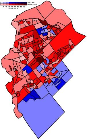
- Description: Locator map of Ottawa Centre, an electoral district in Ottawa, Ontario
- Source: Uploaded as en:Image:Ottawasouth2006.PNG on April 3 2006
Note: This tag is deprecated, please replace this template with {{PD-user-w}}
| |
This work has been released into the public domain by its author, Earl Andrew, at the English Wikipedia project. This applies worldwide. In case this is not legally possible: |
File history
Click on a date/time to view the file as it appeared at that time.
| Date/Time | Thumbnail | Dimensions | User | Comment | |
|---|---|---|---|---|---|
| current | 06:53, 7 April 2006 | | 676 × 1,071 (54 KB) | Jkelly (talk | contribs) | *Author: en:User:Earl Andrew *Description: Locator map of Ottawa Centre, an electoral district in Ottawa, Ontario *Source: Uploaded as en:Image:Ottawasouth2006.PNG on April 3 2006 {{PD-user-wikimedia|Earl Andrew|en}} [[Catego |
You cannot overwrite this file.
File usage on Commons
There are no pages that use this file.
File usage on other wikis
The following other wikis use this file:
- Usage on en.wikipedia.org