File:Ottoman Administrative Structure-1900.png

Size of this preview: 800 × 520 pixels. Other resolutions: 320 × 208 pixels | 640 × 416 pixels | 1,024 × 666 pixels | 1,260 × 819 pixels.
Original file (1,260 × 819 pixels, file size: 1.86 MB, MIME type: image/png)
Captions
Captions
Add a one-line explanation of what this file represents
Summary edit
| Description |
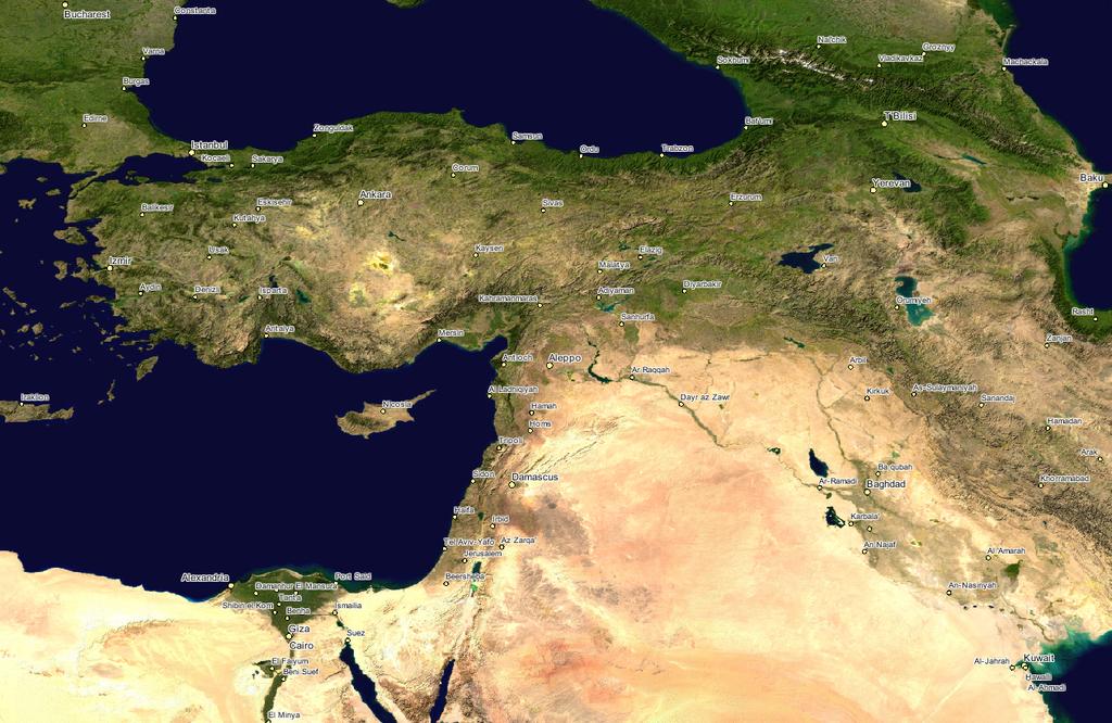
English: NASA Image; cropped to show the Ottoman Empire during 1900.
|
|||||
| Date | Unknown date | |||||
| Source | GLOBE at Night | |||||
| Author | NASA | |||||
| Permission (Reusing this file) |
|

Original upload log edit
The original description page was here. All following user names refer to en.wikipedia.
| Date/Time | Dimensions | User | Comment |
|---|---|---|---|
| 2006-03-26 22:46 | 1260×819× (1951924 bytes) | TuranGunes | Nasa Image; croped to show the Ottoman Empire during 1900. |
File history
Click on a date/time to view the file as it appeared at that time.
| Date/Time | Thumbnail | Dimensions | User | Comment | |
|---|---|---|---|---|---|
| current | 16:23, 14 January 2017 | | 1,260 × 819 (1.86 MB) | Taiwania Justo (talk | contribs) | Transferred from en.wikipedia |
You cannot overwrite this file.
File usage on Commons
There are no pages that use this file.
File usage on other wikis
The following other wikis use this file:
- Usage on en.wikipedia.org
- Usage on zh.wikipedia.org