File:Ottoman Map of Scotland 1803.jpg
Size of this preview: 477 × 600 pixels. Other resolutions: 191 × 240 pixels | 382 × 480 pixels | 611 × 768 pixels | 814 × 1,024 pixels | 1,997 × 2,511 pixels.
Original file (1,997 × 2,511 pixels, file size: 2.19 MB, MIME type: image/jpeg)
Captions
Captions
Ottoman Map of Scotland
Summary edit
| Description |
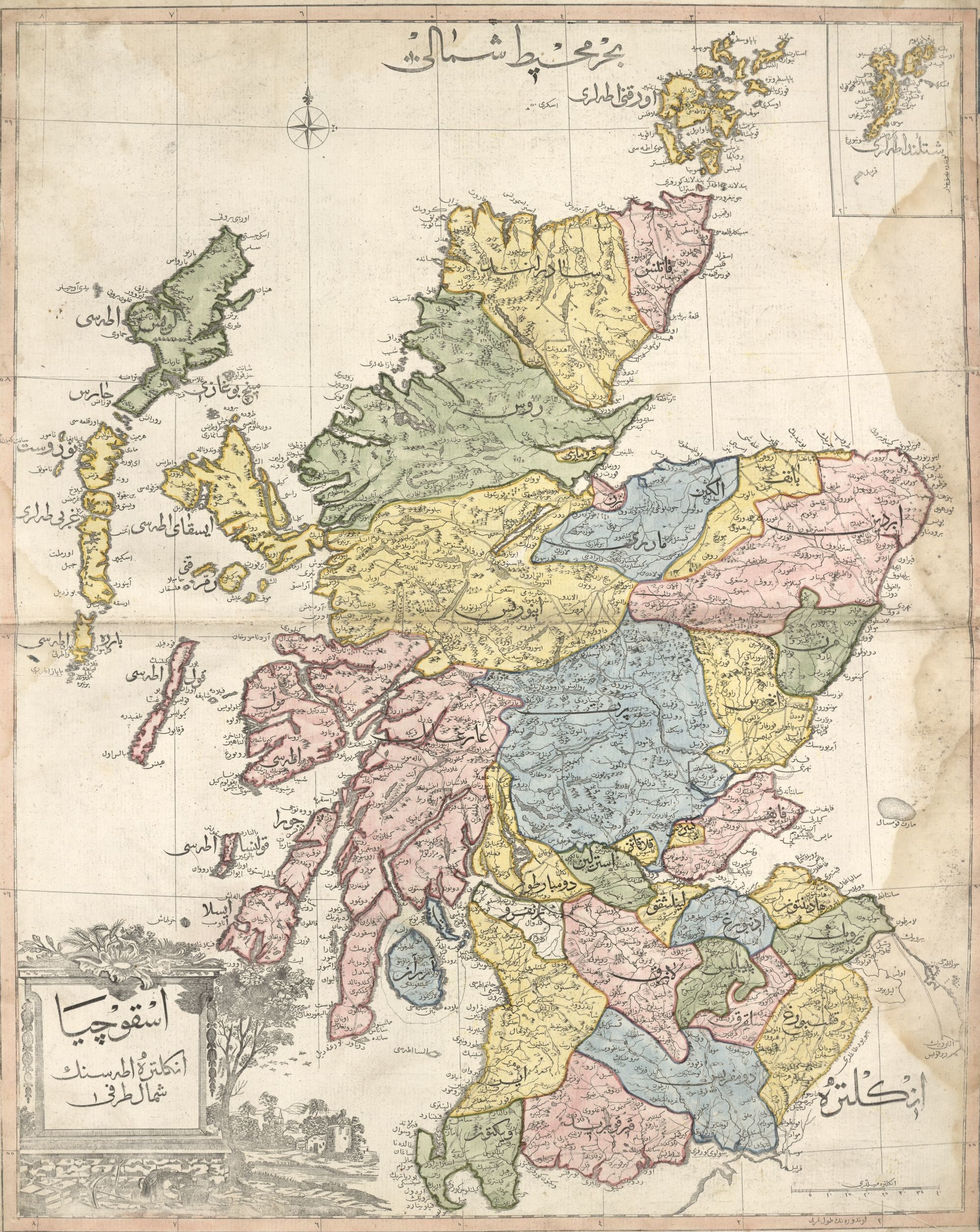
العربية: خريطة لِاسكتلندا بِالتُركيَّة العُثمانيَّة.
English: Map of Scotland in Ottoman Turkish. |
| Date | |
| Source | here |
| Author | Unknown author |
Licensing edit
This work first published in the Ottoman Empire is now in the public domain because the Empire's copyright formalities were not met (copyright notice, registration, and deposit), or because the copyright term (30 years after the death of the author, sometimes less) expired before the Empire was dissolved (details).
|
.svg) |
File history
Click on a date/time to view the file as it appeared at that time.
| Date/Time | Thumbnail | Dimensions | User | Comment | |
|---|---|---|---|---|---|
| current | 23:39, 18 November 2020 | | 1,997 × 2,511 (2.19 MB) | باسم (talk | contribs) | Uploaded a work by Unknown author from [https://tile.loc.gov/image-services/iiif/service:gmd:gmd3m:g3200m:g3200m:gct00235:ca000053/full/pct:25/0/default.jpg here] with UploadWizard |
You cannot overwrite this file.
File usage on Commons
The following page uses this file: