File:Outline Map of Oblivsky District (Rostov Oblast).svg

Size of this PNG preview of this SVG file: 600 × 600 pixels. Other resolutions: 240 × 240 pixels | 480 × 480 pixels | 768 × 768 pixels | 1,024 × 1,024 pixels | 2,048 × 2,048 pixels | 868 × 868 pixels.
Original file (SVG file, nominally 868 × 868 pixels, file size: 13 KB)
Captions
Captions
Add a one-line explanation of what this file represents
Summary
edit.svg&action=edit§ion=1)
| Description |
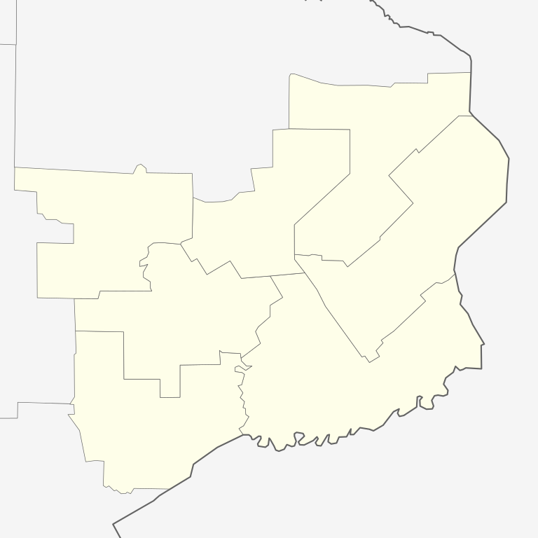
Русский: Позиционная карта Обливского района Ростовской области Равноугольная проекция, растяжение — 150 %. Координаты краёв:
|
| Date | |
| Source |
Own work This W3C-unspecified vector image was created with Inkscape . |
| Author | Виктор В |
Licensing
edit.svg&action=edit§ion=2)
| I, the copyright holder of this work, release this work into the public domain. This applies worldwide. In some countries this may not be legally possible; if so: I grant anyone the right to use this work for any purpose, without any conditions, unless such conditions are required by law. |
File history
Click on a date/time to view the file as it appeared at that time.
| Date/Time | Thumbnail | Dimensions | User | Comment | |
|---|---|---|---|---|---|
| current | 18:59, 3 April 2010 | | 868 × 868 (13 KB) | Виктор В (talk | contribs) | == {{int:filedesc}} == {{Information |Description={{ru|1=Позиционная карта Обливского района Ростовской области<br>Равноугольная проекция, растяжение — 150 %. Координ |
You cannot overwrite this file.
File usage on Commons
There are no pages that use this file.
File usage on other wikis
The following other wikis use this file:
- Usage on fr.wikipedia.org
- Usage on ru.wikipedia.org
- Шаблон:ПозКарта Россия Ростовская область Обливский район
- Александровский (Обливский район)
- Алексеевский (Обливский район)
- Караичев (Обливский район)
- Каштановский
- Нестеркин (хутор)
- Солонецкий
- Леонов (Ростовская область)
- Синяпкин (хутор)
- Бокачевка
- Машинский (хутор)
- Серебряковский
- Артёмов (хутор)
- Киреев (хутор)
- Паршин (Ростовская область)
- Сосновый (Ростовская область)
- Запрудный (Ростовская область)
- Пухов (Ростовская область)
- Шаповаловка (Ростовская область)
- Кривов (хутор)
- Самохин (хутор)
- Слепихин (хутор)
- Трухин (хутор)
- Фролов (Обливский район)
- Черновский (Обливский район)
- Сиволобов (хутор)
- Новополеевский
- Северный (Обливский район)
- Средний Чир
- Секретёв (Обливский район)
- Сеньшин (хутор)
- Глухомановский
- Дубовой (Обливский район)
- Кзыл-Аул
- Ковыленский
- Лобачев (хутор)
- Попов (Обливский район)
- Рябовский (Ростовская область)
- Обливская
.svg&oldid=496995306)