File:Outline Map of Pudozhsky District (Karelia).svg

Size of this PNG preview of this SVG file: 360 × 506 pixels. Other resolutions: 171 × 240 pixels | 341 × 480 pixels | 546 × 768 pixels | 728 × 1,024 pixels | 1,457 × 2,048 pixels.
Original file (SVG file, nominally 360 × 506 pixels, file size: 34 KB)
Captions
Captions
Add a one-line explanation of what this file represents
Summary edit
.svg&action=edit§ion=1)
| Description |
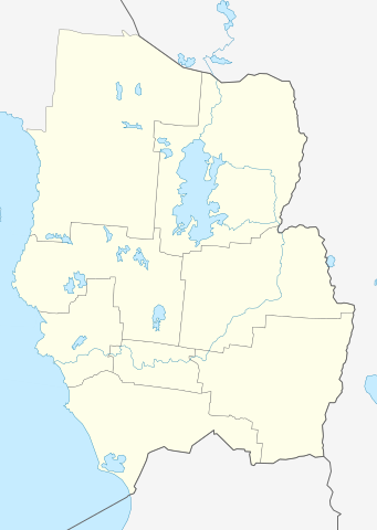
Русский: Позиционная карта Пудожского района Республики Карелия Равноугольная проекция, растяжение — 220%. Координаты краёв:
|
| Date | |
| Source |
Own work This W3C-unspecified vector image was created with Inkscape . |
| Author | Виктор В |
Licensing edit
.svg&action=edit§ion=2)
| I, the copyright holder of this work, release this work into the public domain. This applies worldwide. In some countries this may not be legally possible; if so: I grant anyone the right to use this work for any purpose, without any conditions, unless such conditions are required by law. |
File history
Click on a date/time to view the file as it appeared at that time.
| Date/Time | Thumbnail | Dimensions | User | Comment | |
|---|---|---|---|---|---|
| current | 19:51, 28 March 2010 | | 360 × 506 (34 KB) | Виктор В (talk | contribs) | граница между Вологодской и Архангельской областями |
| 18:56, 28 March 2010 |  | 360 × 506 (34 KB) | Виктор В (talk | contribs) | == {{int:filedesc}} == {{Information |Description={{ru|1=Позиционная карта Пудожского района Республики Карелия<br>Равноугольная проекция, растяжение — 220%. Координ� |
You cannot overwrite this file.
File usage on Commons
There are no pages that use this file.
File usage on other wikis
The following other wikis use this file:
- Usage on fi.wikipedia.org
- Usage on fr.wikipedia.org
- Usage on olo.wikipedia.org
- Usage on ru.wikipedia.org
- Пудож
- Пудожский район
- Водла
- Колодозеро (деревня)
- Водлозеро
- Бесов Нос
- Подпорожье (Пудожский район)
- Шаблон:ПозКарта Россия Карелия Пудожский район
- Ильинский Водлозерский погост
- Кумбаса
- Анусара
- Большая Велмукса
- Вама (приток Водлы)
- Велмукса
- Верхний Рогой
- Верхняя Корба
- Верхняя Охтома (река, впадает в Нельмозеро)
- Верхняя Пеза
- Виксенда
- Виксеньга
- Гакугса (река)
- Ендрика
- Жилая Тамбица
- Калма
- Карнач (река)
- Корьречка
- Кеда (приток Ильвамы)
- Келка
- Кива (приток Тамбицы)
- Кодача
- Колода (река)
- Корба (река, впадает в Салмозеро)
- Ламбуда
- Лейбушка (река)
View more global usage of this file.
.svg)
.svg&oldid=497004543)