File:Outline Map of Saratov Oblast.svg

Size of this PNG preview of this SVG file: 800 × 444 pixels. Other resolutions: 320 × 178 pixels | 640 × 356 pixels | 1,024 × 569 pixels | 1,280 × 711 pixels | 2,560 × 1,422 pixels | 900 × 500 pixels.
Original file (SVG file, nominally 900 × 500 pixels, file size: 266 KB)
Captions
Captions
Add a one-line explanation of what this file represents
Summary edit
| Description |
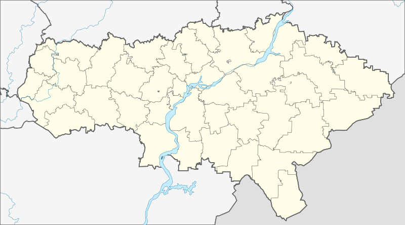
Русский: Административная карта Саратовской области, Россия.
|
| Date | |
| Source |
This W3C-unspecified vector image was created with Inkscape . |
| Author | Nzeemin |
| Other versions |
|

Licensing edit
| Description |
This map was created from OpenStreetMap project data, collected by the community. This map may be incomplete, and may contain errors. Don't rely solely on it for navigation. |
| Date | (see file history) |
| Source | openstreetmap.org |
| Creator |
OpenStreetMap contributors |
| Permission (Reusing this file) |
OpenStreetMap data and maps are licensed under the Creative Commons Attribution-ShareAlike 2.0 license (CC-BY-SA 2.0). This file is licensed under the Creative Commons Attribution-Share Alike 2.0 Generic license.
|
| Georeferencing | If inappropriate please set warp_status = skip to hide. |
File history
Click on a date/time to view the file as it appeared at that time.
| Date/Time | Thumbnail | Dimensions | User | Comment | |
|---|---|---|---|---|---|
| current | 18:18, 6 March 2012 | | 900 × 500 (266 KB) | Nzeemin (talk | contribs) |
You cannot overwrite this file.
File usage on Commons
There are no pages that use this file.
File usage on other wikis
The following other wikis use this file:
- Usage on af.wikipedia.org
- Usage on azb.wikipedia.org
- Usage on ba.wikipedia.org
- Usage on be.wikipedia.org
- Аркадак
- Аткарск
- Балакова
- Балашоў (горад)
- Вольск
- Калінінск
- Краснаармейск (Саратаўская вобласць)
- Красны Кут
- Маркс (горад)
- Новаўзенск
- Пятроўск (Саратаўская вобласць)
- Пугачоў (горад)
- Хвалынск
- Шыханы
- Энгельс (горад)
- Яршоў (горад)
- Саратаў
- Шаблон:На карце/Расія Саратаўская вобласць
- Тацішчава
- Базарны Карабулак
- Аляксандраў Гай
- Балтай
- Васкрасенскае (Саратаўская вобласць)
- Духаўніцкае
- Екацярынаўка (Саратаўская вобласць)
- Іванцееўка (Саратаўская вобласць)
- Лысыя Горы (Саратаўская вобласць)
- Макраус
- Новыя Бурасы
- Азінкі
- Пералюб (Саратаўская вобласць)
- Піцерка
- Роўнае (Саратаўская вобласць)
- Раманаўка (Саратаўская вобласць)
- Самойлаўка (Саратаўская вобласць)
- Горны (Краснапартызанскі раён)
- Дзергачы (Саратаўская вобласць)
- Каменскі (Саратаўская вобласць)
- Клёны (рабочы пасёлак, Саратаўская вобласць)
View more global usage of this file.