File:Outline map of Gumbetovsky District (with position on the map of Dagestan).svg

Size of this PNG preview of this SVG file: 767 × 600 pixels. Other resolutions: 307 × 240 pixels | 614 × 480 pixels | 982 × 768 pixels | 1,280 × 1,001 pixels | 2,560 × 2,002 pixels | 1,064 × 832 pixels.
Original file (SVG file, nominally 1,064 × 832 pixels, file size: 474 KB)
Captions
Captions
Add a one-line explanation of what this file represents
Summary
edit.svg&action=edit§ion=1)
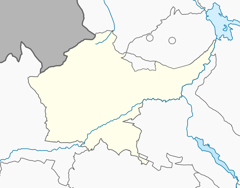
| Description | Гумбетовский район — муниципальный район в Дагестане, Россия. |
| Source | Own work. openstreetmap.org |
| Author | Дагиров Умар |
Licensing
edit.svg&action=edit§ion=2)
I, the copyright holder of this work, hereby publish it under the following license:
This file is licensed under the Creative Commons Attribution-Share Alike 3.0 Unported license.
- You are free:
- to share – to copy, distribute and transmit the work
- to remix – to adapt the work
- Under the following conditions:
- attribution – You must give appropriate credit, provide a link to the license, and indicate if changes were made. You may do so in any reasonable manner, but not in any way that suggests the licensor endorses you or your use.
- share alike – If you remix, transform, or build upon the material, you must distribute your contributions under the same or compatible license as the original.
File history
Click on a date/time to view the file as it appeared at that time.
| Date/Time | Thumbnail | Dimensions | User | Comment | |
|---|---|---|---|---|---|
| current | 12:52, 25 January 2023 | | 1,064 × 832 (474 KB) | Takhirgeran Umar (talk | contribs) | граница |
| 12:37, 25 January 2023 |  | 1,064 × 832 (473 KB) | Takhirgeran Umar (talk | contribs) | обновление | |
| 08:32, 16 December 2012 |  | 395 × 299 (25 KB) | Takhirgeran Umar (talk | contribs) | {{Information |Description= |Source={{own}} |Date= |Author= Дагиров Умар |Permission= |other_versions= }} |
You cannot overwrite this file.
File usage on Commons
There are no pages that use this file.
File usage on other wikis
The following other wikis use this file:
- Usage on av.wikipedia.org
- МелъелтӀа
- Бакълъул мухъ
- Халип:БакӀКарта Россия Дагъистан Бакълъул мухъ
- Гъадари
- Гъоркьа Инхо
- Данухъ
- КилалӀ
- ЛъаратӀа (Бакълъул мухъ)
- ТӀаса Инхо
- ЧӀиркъатӀа
- ЧӀикь
- Ингиши
- Аргъвани
- Садуб
- Нанибика
- БакьулӀ Гьарадерихъ
- Гъоркьа Гьарадерихъ
- ТӀаса Гьарадерихъ
- Игьали
- Кунзахъ
- Лъанлъари
- ЦӀаналӀ
- Басрияб Сивухъ
- Нариш
- ЦӀиликь
- ЦӀияб ЦӀиликь
- Шабдухъ
- ЦӀунди (Бакълъул мухъ)
- ИчичӀали
- Usage on ce.wikipedia.org
View more global usage of this file.
.svg)
.svg&oldid=727709207)