File:Outline map of Tabasaransky District (with position on the map of Dagestan).svg

Size of this PNG preview of this SVG file: 456 × 356 pixels. Other resolutions: 308 × 240 pixels | 615 × 480 pixels | 984 × 768 pixels | 1,280 × 999 pixels | 2,560 × 1,999 pixels.
Original file (SVG file, nominally 456 × 356 pixels, file size: 48 KB)
Captions
Captions
Add a one-line explanation of what this file represents
Summary
edit.svg&action=edit§ion=1)
| Description |
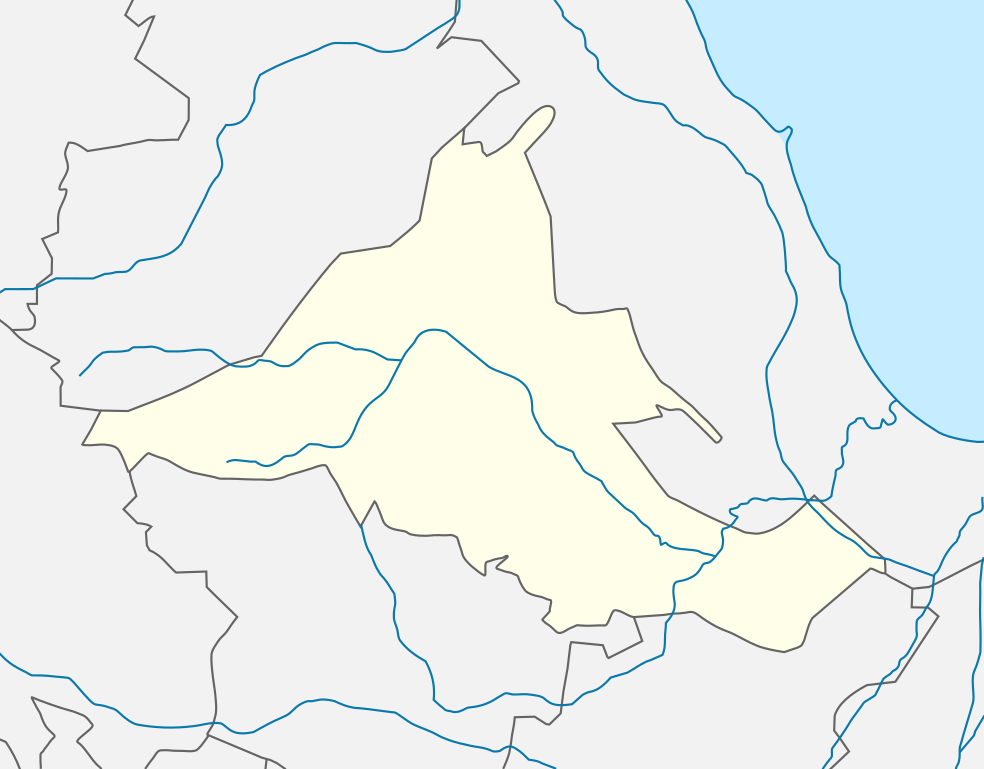
Русский: Табасаранский район — муниципальный район в Дагестане, Россия. |
| Date | |
| Source | Own work |
| Author | Дагиров Умар |
Licensing
edit.svg&action=edit§ion=2)
I, the copyright holder of this work, hereby publish it under the following license:
This file is licensed under the Creative Commons Attribution-Share Alike 3.0 Unported license.
- You are free:
- to share – to copy, distribute and transmit the work
- to remix – to adapt the work
- Under the following conditions:
- attribution – You must give appropriate credit, provide a link to the license, and indicate if changes were made. You may do so in any reasonable manner, but not in any way that suggests the licensor endorses you or your use.
- share alike – If you remix, transform, or build upon the material, you must distribute your contributions under the same or compatible license as the original.
File history
Click on a date/time to view the file as it appeared at that time.
| Date/Time | Thumbnail | Dimensions | User | Comment | |
|---|---|---|---|---|---|
| current | 18:10, 13 December 2012 | | 456 × 356 (48 KB) | Takhirgeran Umar (talk | contribs) | User created page with UploadWizard |
You cannot overwrite this file.
File usage on Commons
There are no pages that use this file.
File usage on other wikis
The following other wikis use this file:
- Usage on az.wikipedia.org
- Usage on os.wikipedia.org
- Usage on ru.wikipedia.org
- Дюбек
- Марага (Дагестан)
- Пилиг
- Ерси
- Джульджаг
- Сиртич
- Тураг
- Хучни
- Тинит
- Хараг
- Арак (Дагестан)
- Новое Лидже
- Цухдыг
- Лидже (Дагестан)
- Аркит
- Цанак
- Ушнюг
- Бурганкент
- Хюряк
- Кюряг
- Шаблон:ПозКарта Россия Дагестан Табасаранский район
- Чулат
- Ханаг
- Ханак
- Гелинбатан
- Урзиг
- Екраг
- Зиль (село)
- Хели
- Пенджи
- Куярик
- Гуми (село)
- Хустиль
- Хапиль
- Акка (Дагестан)
- Афна
- Гюхряг
- Гурик (село)
- Улуз
- Куркак (село)
- Халаг
- Хурик
- Бухнаг
- Вечрик
- Гасик
- Гисик
View more global usage of this file.
.svg)
.svg&oldid=661459601)