File:P37 pie Bērzaunes ielejas.jpg

Size of this preview: 800 × 533 pixels. Other resolutions: 320 × 213 pixels | 640 × 427 pixels | 1,024 × 683 pixels | 1,280 × 853 pixels | 2,592 × 1,728 pixels.
Original file (2,592 × 1,728 pixels, file size: 909 KB, MIME type: image/jpeg)
Captions
Captions
Add a one-line explanation of what this file represents
Summary
edit
| Camera location | | View this and other nearby images on: OpenStreetMap |
|---|
| Description |
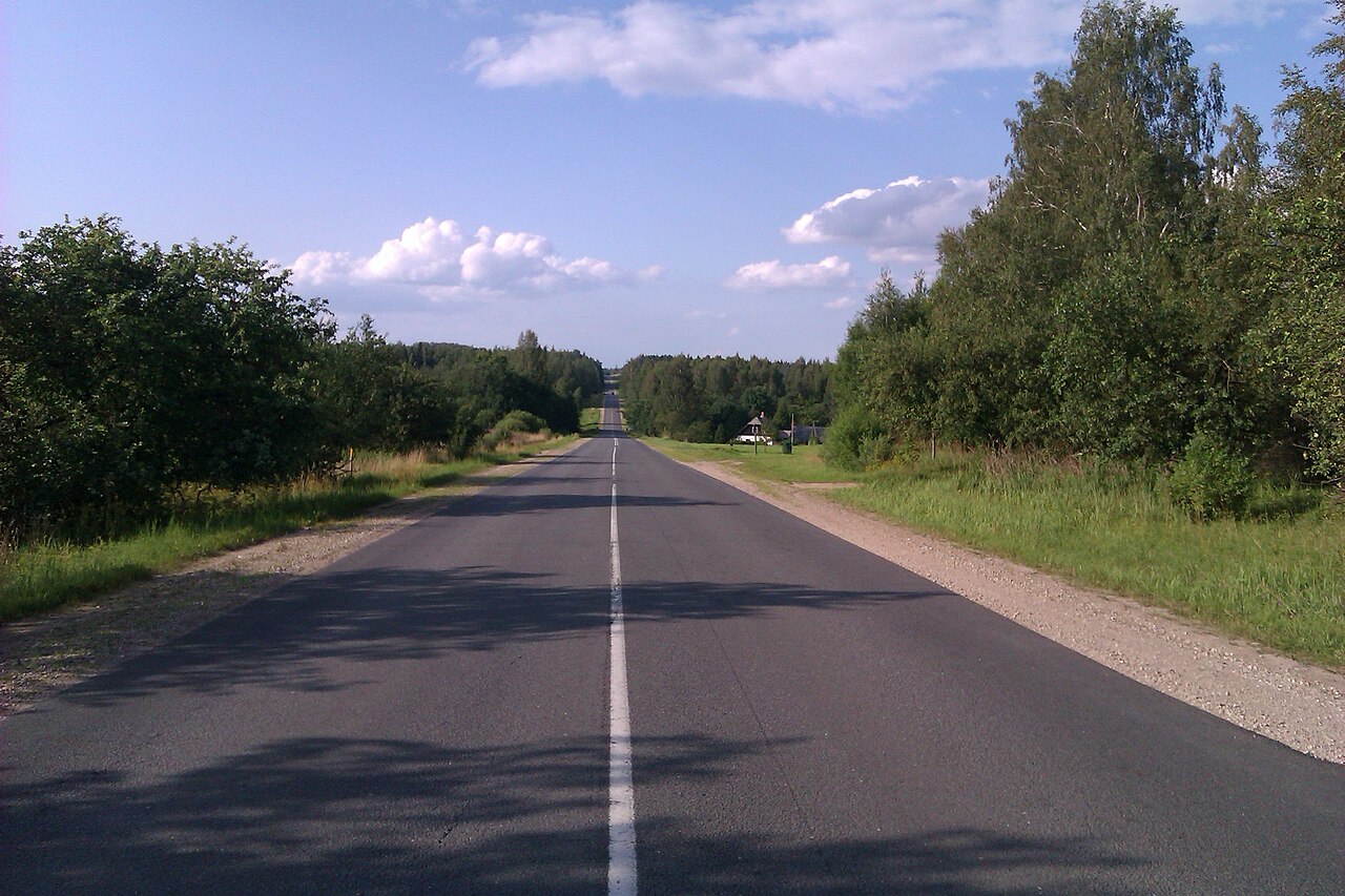
English: Road P37 crossing Bērzaune River valley |
| Date | |
| Source | Own work |
| Author | Kikos |
Licensing
edit
I, the copyright holder of this work, hereby publish it under the following license:
This file is licensed under the Creative Commons Attribution-Share Alike 3.0 Unported license.
- You are free:
- to share – to copy, distribute and transmit the work
- to remix – to adapt the work
- Under the following conditions:
- attribution – You must give appropriate credit, provide a link to the license, and indicate if changes were made. You may do so in any reasonable manner, but not in any way that suggests the licensor endorses you or your use.
- share alike – If you remix, transform, or build upon the material, you must distribute your contributions under the same or compatible license as the original.
File history
Click on a date/time to view the file as it appeared at that time.
| Date/Time | Thumbnail | Dimensions | User | Comment | |
|---|---|---|---|---|---|
| current | 18:08, 31 July 2012 | | 2,592 × 1,728 (909 KB) | Kikos (talk | contribs) |
You cannot overwrite this file.
File usage on Commons
The following 2 pages use this file:
- File:P73 pie Bērzaunes ielejas.jpg (file redirect)
- Category:Road P37 (Latvia)
File usage on other wikis
The following other wikis use this file:
- Usage on fr.wikipedia.org
- Usage on lv.wikipedia.org
- Usage on nl.wikipedia.org
- Usage on www.wikidata.org