File:PANO Rue Sainte-Rose - panoramio.jpg
Size of this preview: 606 × 599 pixels. Other resolutions: 243 × 240 pixels | 485 × 480 pixels | 777 × 768 pixels | 1,035 × 1,024 pixels | 2,071 × 2,048 pixels | 4,174 × 4,128 pixels.
Original file (4,174 × 4,128 pixels, file size: 5.12 MB, MIME type: image/jpeg)
Captions
Captions
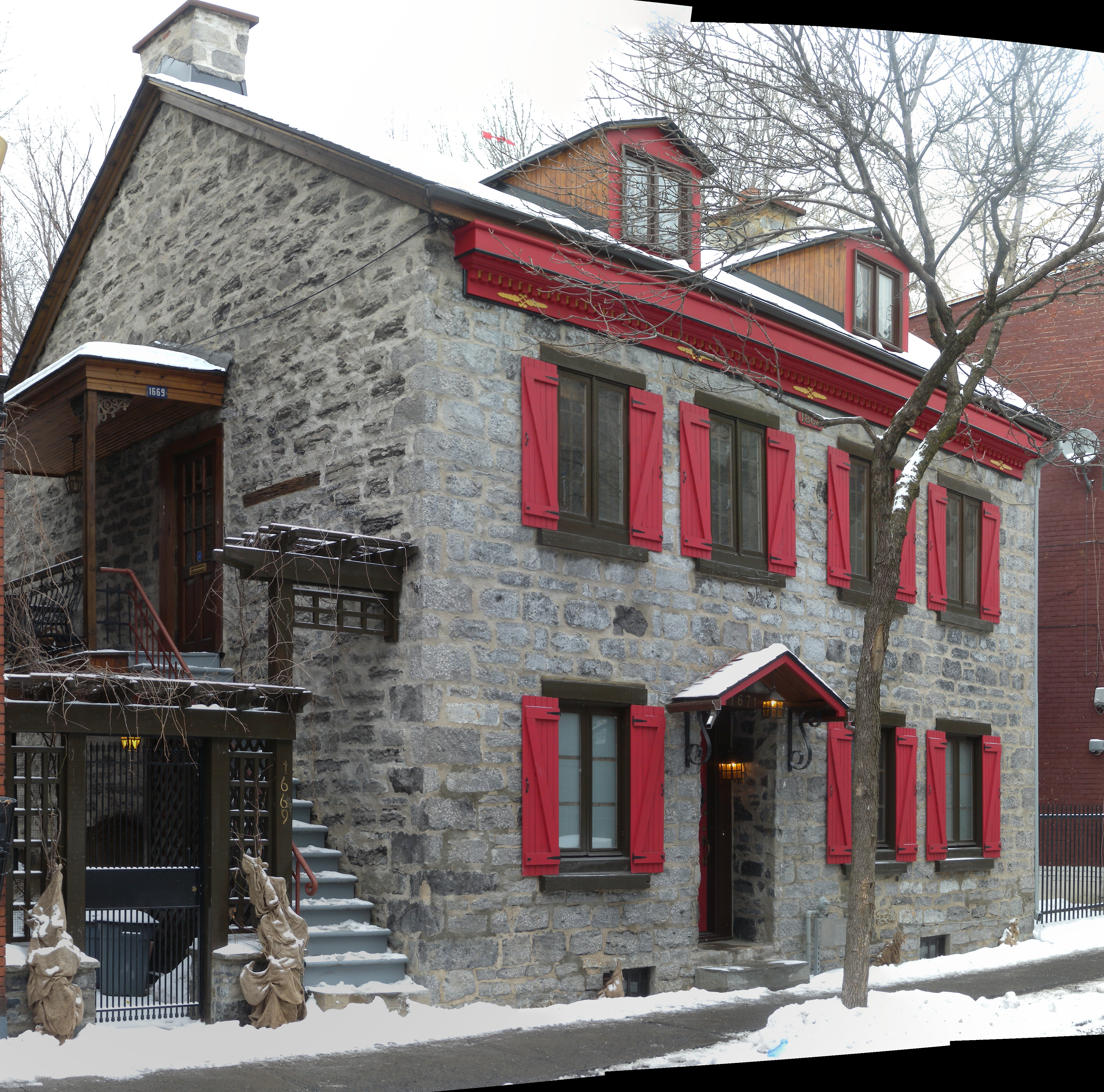
Stone house circa 1868
Summary
edit
| Description | PANO Rue Sainte-Rose | ||
| Date | Taken on 29 January 2013 | ||
| Source | https://web.archive.org/web/20161025204747/http://www.panoramio.com/photo/85392233 | ||
| Author | Yanik Crépeau | ||
| Permission (Reusing this file) |
This file is licensed under the Creative Commons Attribution-Share Alike 3.0 Unported license. Attribution: Yanik Crépeau
|
||
| Tags (from Panoramio photo page) | Montreal, 2013, Arondissement Ville-Marie, Hugin Panorama software, Montréal, QC, Québec |
| Camera location | | View this and other nearby images on: OpenStreetMap |
|---|
File history
Click on a date/time to view the file as it appeared at that time.
| Date/Time | Thumbnail | Dimensions | User | Comment | |
|---|---|---|---|---|---|
| current | 02:32, 6 February 2017 | | 4,174 × 4,128 (5.12 MB) | Panoramio upload bot (talk | contribs) | == {{int:filedesc}} == {{Information |description=PANO Rue Sainte-Rose |date={{Taken on|2013-01-29}} |source=http://www.panoramio.com/photo/85392233 |author=[http://www.panoramio.com/user/329782?with_photo_id=85392233 Yanik Crépeau] |permission={{cc-b... |
You cannot overwrite this file.
File usage on Commons
There are no pages that use this file.