File:PEI Route13.jpg

Size of this preview: 600 × 600 pixels. Other resolutions: 240 × 240 pixels | 480 × 480 pixels | 768 × 768 pixels | 1,024 × 1,024 pixels | 1,536 × 1,536 pixels.
Original file (1,536 × 1,536 pixels, file size: 489 KB, MIME type: image/jpeg)
Captions
Captions
Add a one-line explanation of what this file represents
Summary edit
| Description |
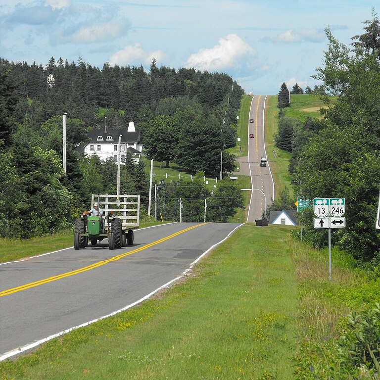
English: Route 13 in rural Prince Edward Island |
| Date | |
| Source | Own work |
| Author | Verne Equinox |
| Permission (Reusing this file) |
I, the copyright holder of this work, hereby publish it under the following license: This file is licensed under the Creative Commons Attribution 3.0 Unported license.
|
| Camera location | | View this and other nearby images on: OpenStreetMap |
|---|
File history
Click on a date/time to view the file as it appeared at that time.
| Date/Time | Thumbnail | Dimensions | User | Comment | |
|---|---|---|---|---|---|
| current | 13:46, 8 August 2009 | | 1,536 × 1,536 (489 KB) | Verne Equinox (talk | contribs) | {{Information |Description={{en|1=Route 13 in rural Prince Edward Island}} |Source=Own work by uploader |Author=Verne Equinox |Date=2009-07-13 |Permission= |other_versions= }} Category:Prince Edward Island |
You cannot overwrite this file.
File usage on Commons
The following page uses this file:
File usage on other wikis
The following other wikis use this file:
- Usage on en.wikipedia.org
- Usage on www.wikidata.org