File:Pacific Boulevard, Huntington Park, California (14516669142).jpg
Original file (4,000 × 3,000 pixels, file size: 1.98 MB, MIME type: image/jpeg)
Captions
Captions
Summary edit
.jpg&action=edit§ion=1)
| Description |
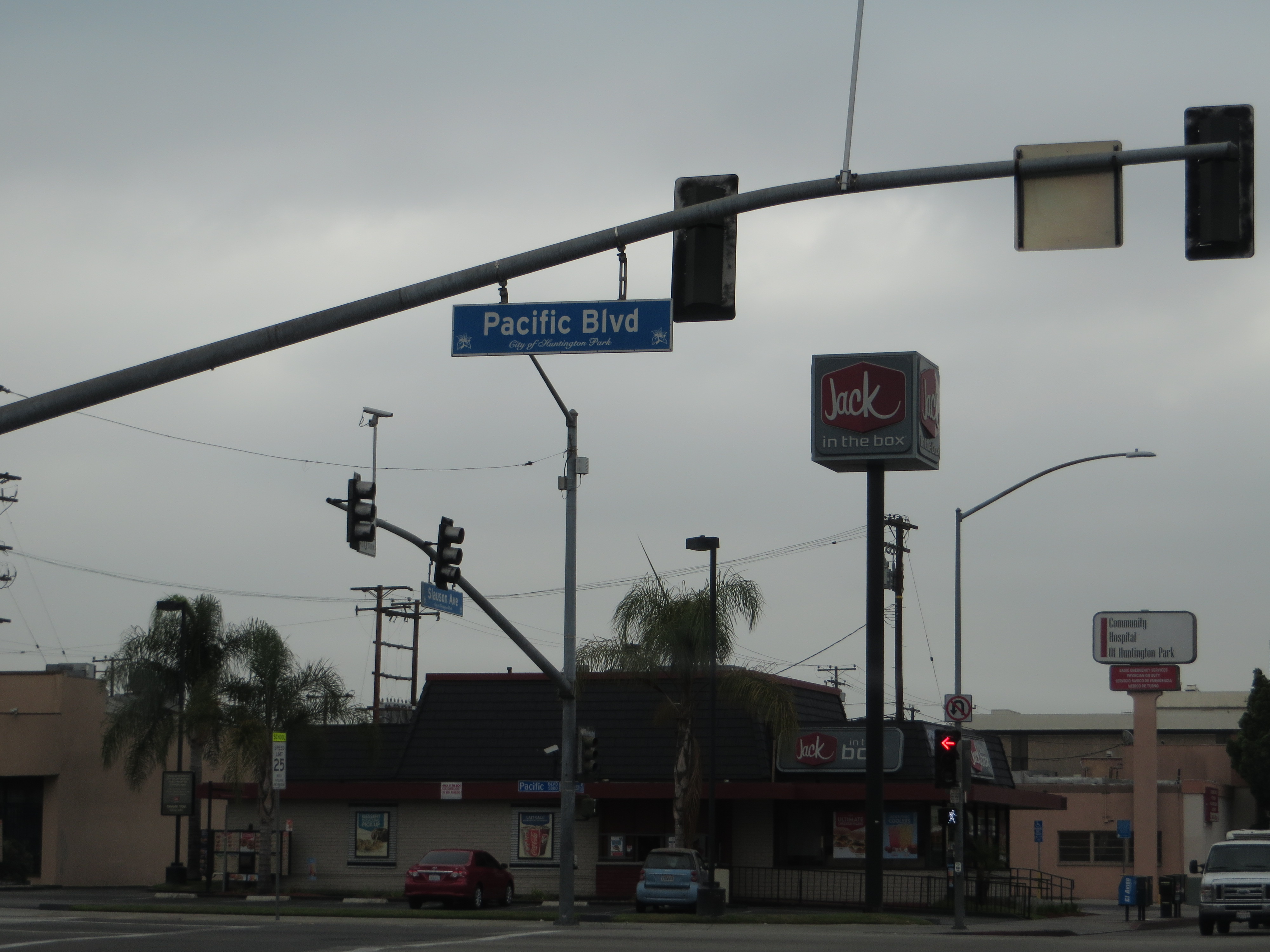
English: Huntington Park is a city in Los Angeles County, California, United States. As of the 2010 census, the city had a total population of 58,114, down from 61,348 at the 2000 census.
Named for prominent industrialist Henry E. Huntington, Huntington Park was incorporated in 1906 as a streetcar suburb for workers in the rapidly expanding industries to the southeast of downtown Los Angeles. To this day, about 30% of its residents work at factories in nearby Vernon and Commerce. The stretch of Pacific Boulevard in downtown Huntington Park was a major commercial district serving the city's largely working-class residents, as well as those of neighboring cities such as Bell, Cudahy, South Gate, and Downey. As with most of the other cities along the corridor stretching along the Los Angeles River to the south and southeast of downtown Los Angeles, Huntington Park was an almost exclusively white community during most of its history; Alameda Street and Slauson Avenue, which were fiercely defended segregation lines in the 1950s, separated it from black areas. The changes that shaped Los Angeles from the late 1970s onward—the decline of American manufacturing that began in the 1970s; the rapid growth of newer suburbs in Orange County, the eastern San Gabriel, western San Fernando and Conejo valleys; the collapse of the aerospace and defense industry at the end of the Cold War; and the implosion of the Southern California real estate boom in the early 1990s—resulted in the wholesale departure of virtually all of the white population of Huntington Park by the mid-1990s. The vacuum was filled almost entirely by two groups of Latinos: upwardly mobile families eager to leave the barrios of East Los Angeles, and recent Mexican immigrants. Today, Pacific Boulevard is once again a thriving commercial strip, serving as a major retail center for working-class residents of southeastern Los Angeles County—but unlike its previous heyday of the 1930s, the signs along the avenue's storefronts are now primarily in Spanish. en.wikipedia.org/wiki/Huntington_Park,_California en.wikipedia.org/wiki/Wikipedia:Text_of_Creative_Commons_... |
| Date | |
| Source | Pacific Boulevard, Huntington Park, California |
| Author | Ken Lund from Reno, Nevada, USA |
| Camera location | | View this and other nearby images on: OpenStreetMap |
|---|
.jpg¶ms=033.989222_N_-118.225692_E_globe:Earth_type:camera_source:Flickr_&language=en)
Licensing edit
.jpg&action=edit§ion=2)
- You are free:
- to share – to copy, distribute and transmit the work
- to remix – to adapt the work
- Under the following conditions:
- attribution – You must give appropriate credit, provide a link to the license, and indicate if changes were made. You may do so in any reasonable manner, but not in any way that suggests the licensor endorses you or your use.
- share alike – If you remix, transform, or build upon the material, you must distribute your contributions under the same or compatible license as the original.
| This image was originally posted to Flickr by Ken Lund at https://flickr.com/photos/75683070@N00/14516669142 (archive). It was reviewed on 14 February 2018 by FlickreviewR 2 and was confirmed to be licensed under the terms of the cc-by-sa-2.0. |
File history
Click on a date/time to view the file as it appeared at that time.
| Date/Time | Thumbnail | Dimensions | User | Comment | |
|---|---|---|---|---|---|
| current | 14:17, 12 February 2018 | | 4,000 × 3,000 (1.98 MB) | Artix Kreiger 2 (talk | contribs) | Transferred from Flickr via Flickr2Commons |
You cannot overwrite this file.
File usage on Commons
There are no pages that use this file.
.jpg&oldid=478966624)