File:Pakistan-Sindh-location-map.svg

Size of this PNG preview of this SVG file: 499 × 599 pixels. Other resolutions: 200 × 240 pixels | 400 × 480 pixels | 640 × 768 pixels | 853 × 1,024 pixels | 1,706 × 2,048 pixels | 858 × 1,030 pixels.
Original file (SVG file, nominally 858 × 1,030 pixels, file size: 585 KB)
Captions
Captions
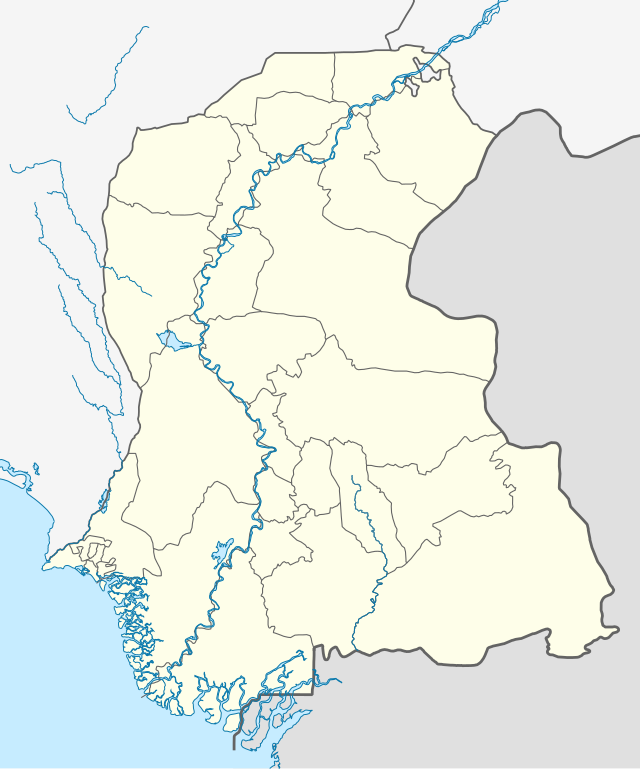
Map of Sindh
Mostly many costs are living in berochandio brohi, chandio,khairani,Machi,rind,sangi,mengal,zahri,chutiani,lashari,and so more
Summary
edit
| Description |
اردو: ذاتی کام English: Own Work |
| Date | |
| Source | Own work |
| Author | Kaleem Bhatti |
Own work
Licensing
edit
I, the copyright holder of this work, hereby publish it under the following license:
This file is licensed under the Creative Commons Attribution-Share Alike 4.0 International license.
- You are free:
- to share – to copy, distribute and transmit the work
- to remix – to adapt the work
- Under the following conditions:
- attribution – You must give appropriate credit, provide a link to the license, and indicate if changes were made. You may do so in any reasonable manner, but not in any way that suggests the licensor endorses you or your use.
- share alike – If you remix, transform, or build upon the material, you must distribute your contributions under the same or compatible license as the original.
File history
Click on a date/time to view the file as it appeared at that time.
| Date/Time | Thumbnail | Dimensions | User | Comment | |
|---|---|---|---|---|---|
| current | 16:30, 8 September 2021 | | 858 × 1,030 (585 KB) | C1MM (talk | contribs) | Added Karachi districts |
| 05:46, 6 September 2021 |  | 858 × 1,030 (584 KB) | C1MM (talk | contribs) | Added better boundaries and rivers | |
| 21:59, 18 April 2020 |  | 1,000 × 1,200 (610 KB) | C1MM (talk | contribs) | Standardized colors and added borders | |
| 14:25, 8 May 2019 |  | 1,080 × 1,280 (300 KB) | Kaleem Bhatti (talk | contribs) | ||
| 14:16, 8 May 2019 |  | 1,080 × 1,280 (301 KB) | Kaleem Bhatti (talk | contribs) | Outline fixed | |
| 16:13, 7 May 2019 |  | 1,080 × 1,280 (300 KB) | Kaleem Bhatti (talk | contribs) | User created page with UploadWizard |
You cannot overwrite this file.
File usage on Commons
The following 2 pages use this file:
- File:Pakistan Sindh Covid-19 Map.png
- File:Sindh Maps.svg (file redirect)
File usage on other wikis
The following other wikis use this file:
- Usage on as.wikipedia.org
- Usage on bn.wikipedia.org
- করাচি
- টেমপ্লেট:অবস্থান মানচিত্র পাকিস্তান সিন্ধু
- থাট্টা
- ২০১৭ লাল শাহবাজ কালান্দারের মাজারে বোমা হামলা
- বাদিন
- হায়দ্রাবাদ, সিন্ধু
- জেকোবাবাদ
- খৈরপুর
- নওয়াবশাহ
- সুক্কুর
- বানভোর বিভাগ
- খায়েরপুর জেলা
- মডিউল:অবস্থান মানচিত্র/উপাত্ত/পাকিস্তান সিন্ধু
- মডিউল:অবস্থান মানচিত্র/উপাত্ত/পাকিস্তান সিন্ধু/নথি
- স্যান্ডসপিট সৈকত
- চানহুদাড়ো
- চুরিও জাবাল দুর্গা মাতা মন্দির
- উমারকোট শিব মন্দির
- শ্রী রামদেব পীর মন্দির
- দরিয়া লাল মন্দির
- পঞ্চমুখী হনুমান মন্দির
- কালকা গুহা মন্দির
- শ্রী লক্ষ্মী নারায়ণ মন্দির, করাচি
- Usage on de.wikipedia.org
- Usage on en.wikipedia.org
View more global usage of this file.