File:Palézieux Broye Biordaz Atlas topographique de la Suisse.jpg

Size of this preview: 800 × 568 pixels. Other resolutions: 320 × 227 pixels | 640 × 454 pixels | 1,024 × 727 pixels | 1,280 × 909 pixels | 2,560 × 1,818 pixels | 3,248 × 2,306 pixels.
Original file (3,248 × 2,306 pixels, file size: 2.96 MB, MIME type: image/jpeg)
Captions
Captions
Atlas topographique de la Suisse
Summary
edit
| Description |
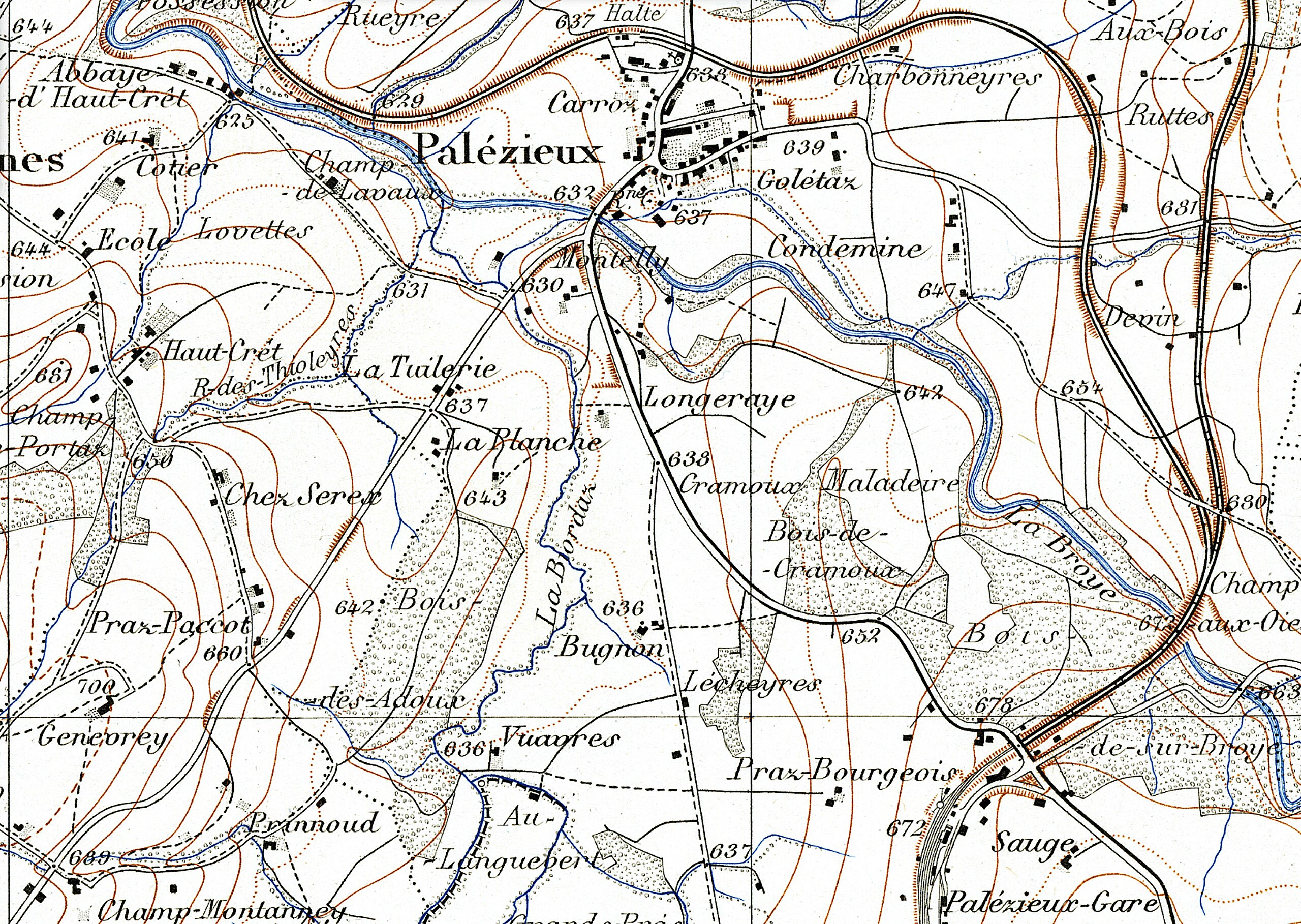
Français : Région de Palézieux, canton de Vaud, Suisse, avec embouchure de la Biorde (Biordaz) dans la Broye; en bas: la gare de Palézieux. Atlas topographique de la Suisse, feuille 456 Chardonne, vers 1910. |
| Date | |
| Source | https://map.geo.admin.ch (Bundesamt für Landestopografie swisstopo Swisstopo) |
| Author | unknown |
Licensing
edit
This file is licensed under the Creative Commons Attribution 4.0 International license.
- You are free:
- to share – to copy, distribute and transmit the work
- to remix – to adapt the work
- Under the following conditions:
- attribution – You must give appropriate credit, provide a link to the license, and indicate if changes were made. You may do so in any reasonable manner, but not in any way that suggests the licensor endorses you or your use.
File history
Click on a date/time to view the file as it appeared at that time.
| Date/Time | Thumbnail | Dimensions | User | Comment | |
|---|---|---|---|---|---|
| current | 18:04, 23 May 2024 | | 3,248 × 2,306 (2.96 MB) | Arkelin (talk | contribs) | Uploaded a work by unknown from https://map.geo.admin.ch (Bundesamt für Landestopografie swisstopo Swisstopo) with UploadWizard |
You cannot overwrite this file.
File usage on Commons
There are no pages that use this file.
File usage on other wikis
The following other wikis use this file:
- Usage on de.wikipedia.org