File:Palau-Helen Reef Transit Location.png

Size of this preview: 800 × 533 pixels. Other resolutions: 320 × 213 pixels | 640 × 427 pixels | 1,024 × 683 pixels | 1,280 × 853 pixels | 2,560 × 1,707 pixels | 4,500 × 3,000 pixels.
Original file (4,500 × 3,000 pixels, file size: 3.92 MB, MIME type: image/png)
Captions
Captions
Add a one-line explanation of what this file represents
Summary
edit
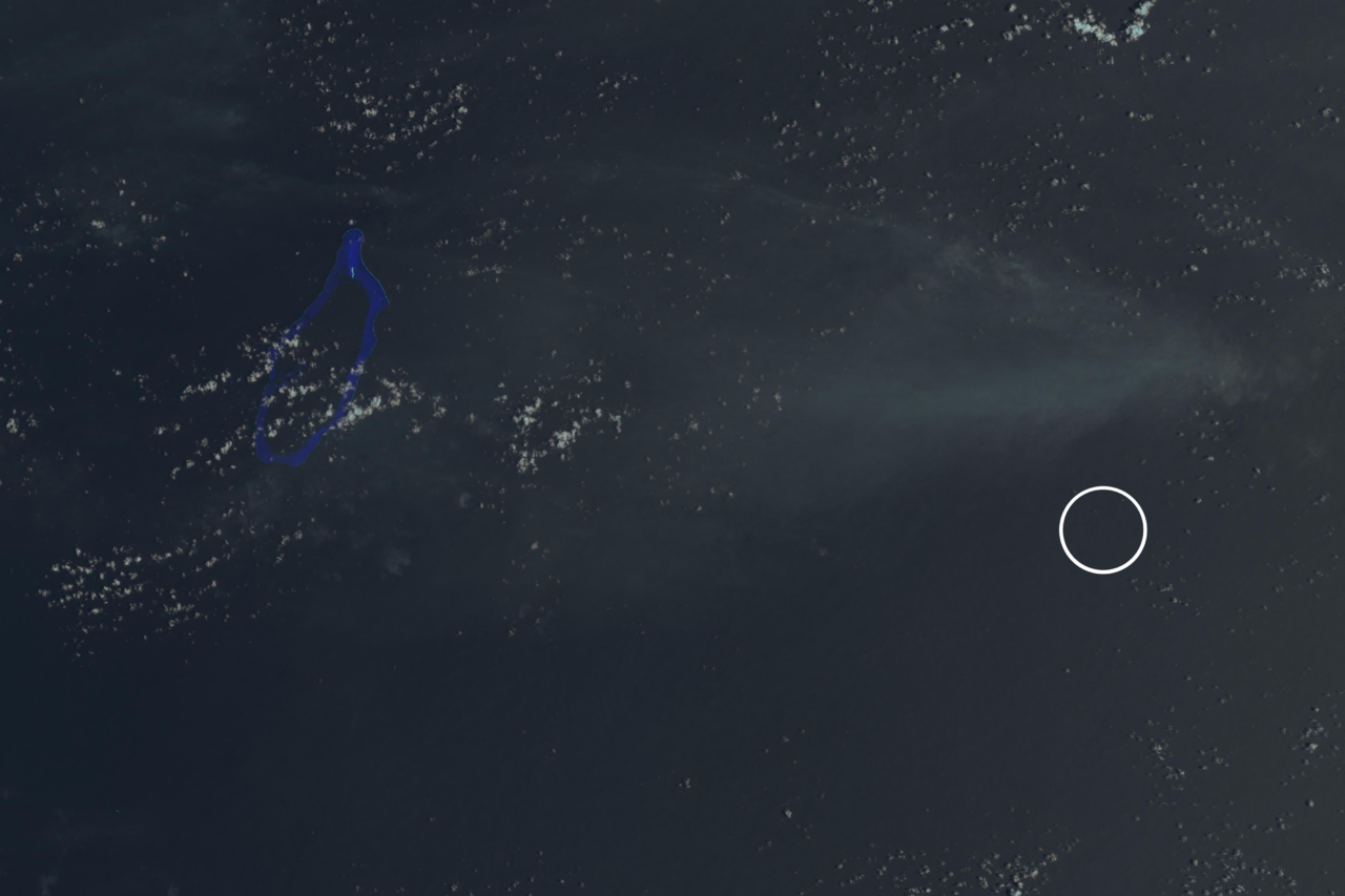
| Description |
Polski: Zdjęcie satelitarne rafy Helen z zaznaczoną kółkiem domniemaną lokalizacją rafy Transit (według tej mapy). English: Satellite picture of Helen Reef with supposed location of Transit Reef (according to this map) marked with circle. |
| Date | |
| Source | USGS: Landsat Look Viewer |
| Author | USGS/NASA Landsat Program; found and cropped by Szczureq |
Licensing
edit
This image is in the public domain in the United States because it only contains materials that originally came from the United States Geological Survey, an agency of the United States Department of the Interior. For more information, see the official USGS copyright policy.
|
File history
Click on a date/time to view the file as it appeared at that time.
| Date/Time | Thumbnail | Dimensions | User | Comment | |
|---|---|---|---|---|---|
| current | 14:36, 10 September 2015 | | 4,500 × 3,000 (3.92 MB) | Szczureq (talk | contribs) | User created page with UploadWizard |
You cannot overwrite this file.
File usage on Commons
There are no pages that use this file.
File usage on other wikis
The following other wikis use this file:
- Usage on en.wikipedia.org
- Usage on fr.wikipedia.org
- Usage on incubator.wikimedia.org
- Usage on mk.wikipedia.org
- Usage on pl.wikipedia.org