File:Panama Panama location map.svg

Size of this PNG preview of this SVG file: 729 × 599 pixels. Other resolutions: 292 × 240 pixels | 584 × 480 pixels | 934 × 768 pixels | 1,246 × 1,024 pixels | 2,491 × 2,048 pixels | 871 × 716 pixels.
Original file (SVG file, nominally 871 × 716 pixels, file size: 129 KB)
Captions
Captions
Add a one-line explanation of what this file represents
Summary edit
| Description |
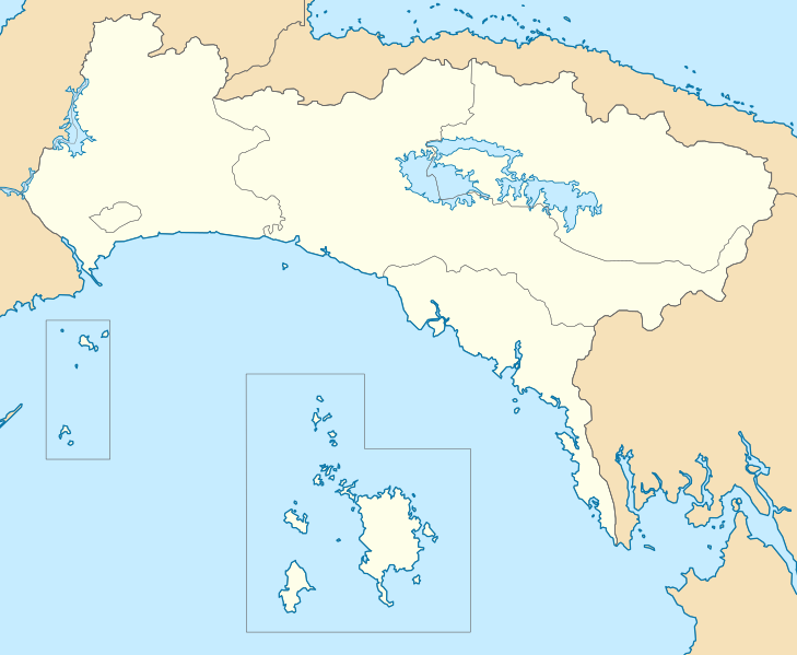
English: Location map of Panama province, Panama
Español: Mapa de localización de la provincia de Panamá, Panamá
Geographic limits of the map:
|
| Date | |
| Source | Own work |
| Author | Milenioscuro |
| Other versions |
|

Licensing edit
I, the copyright holder of this work, hereby publish it under the following license:
This file is licensed under the Creative Commons Attribution-Share Alike 3.0 Unported license.
- You are free:
- to share – to copy, distribute and transmit the work
- to remix – to adapt the work
- Under the following conditions:
- attribution – You must give appropriate credit, provide a link to the license, and indicate if changes were made. You may do so in any reasonable manner, but not in any way that suggests the licensor endorses you or your use.
- share alike – If you remix, transform, or build upon the material, you must distribute your contributions under the same or compatible license as the original.
File history
Click on a date/time to view the file as it appeared at that time.
| Date/Time | Thumbnail | Dimensions | User | Comment | |
|---|---|---|---|---|---|
| current | 16:28, 4 January 2014 | | 871 × 716 (129 KB) | Milenioscuro (talk | contribs) | updated limits, for the new province see File:Panama Panama Oeste location map.svg |
| 18:53, 14 February 2013 |  | 1,124 × 716 (229 KB) | Milenioscuro (talk | contribs) | User created page with UploadWizard |
You cannot overwrite this file.
File usage on Commons
The following page uses this file:
File usage on other wikis
The following other wikis use this file:
- Usage on de.wikipedia.org
- Usage on en.wikipedia.org
- Taboga, Panama
- Chepo, Panamá Province
- Chimán
- Corregimientos of Panama
- Bayano Lake
- Lake Alajuela
- Module:Location map/data/Panama Panamá Province/doc
- Cañita, Panama
- Chepillo
- El Llano, Panama
- Las Margaritas, Panama
- Santa Cruz de Chinina
- Tortí
- Brujas, Panama
- Gonzalo Vásquez
- Pásiga
- Unión Santeña
- Module:Location map/data/Panama Panamá Province
- Jama Mosque (Panama City)
- Usage on eo.wikipedia.org
- Usage on es.wikipedia.org
- Balboa (ciudad de Panamá)
- El Chorrillo (Panamá)
- Pedregal (Panamá)
- Tocumen
- San Francisco (Panamá)
- Bella Vista (Panamá)
- Costa del Este (Panamá)
- Juan Díaz (Panamá)
- Calidonia (Panamá)
- Chepo
- Las Margaritas (Panamá)
- Rufina Alfaro (Panamá)
- Santa Ana (Panamá)
- San Felipe (Panamá)
- Curundú (Panamá)
- Ancón (Panamá)
- Betania (Panamá)
View more global usage of this file.