File:Pantages House Plaque Close.jpg

Size of this preview: 480 × 600 pixels. Other resolutions: 192 × 240 pixels | 384 × 480 pixels | 615 × 768 pixels | 819 × 1,024 pixels | 1,992 × 2,489 pixels.
Original file (1,992 × 2,489 pixels, file size: 943 KB, MIME type: image/jpeg)
Captions
Captions
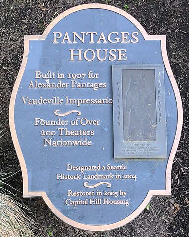
Plaque for historic landmark Pantages House in Capitol Hill
Summary
edit
| Description |
English: Informative plaque in a flowerbed on the northern side of the Pantages House, which was built in 1907 for Alexander Pantages and recognized as a Seattle Historic Landmark in 2004, in the Capitol Hill neighborhood in Seattle, WA, US. |
| Date | |
| Source | Own work |
| Author | Katiavu |
| Camera location | | View this and other nearby images on: OpenStreetMap |
|---|
Licensing
edit
I, the copyright holder of this work, hereby publish it under the following license:
| This file is made available under the Creative Commons CC0 1.0 Universal Public Domain Dedication. | |
| The person who associated a work with this deed has dedicated the work to the public domain by waiving all of their rights to the work worldwide under copyright law, including all related and neighboring rights, to the extent allowed by law. You can copy, modify, distribute and perform the work, even for commercial purposes, all without asking permission.
|
File history
Click on a date/time to view the file as it appeared at that time.
| Date/Time | Thumbnail | Dimensions | User | Comment | |
|---|---|---|---|---|---|
| current | 02:42, 20 April 2024 | | 1,992 × 2,489 (943 KB) | Katiavu (talk | contribs) | Uploaded own work with UploadWizard |
You cannot overwrite this file.
File usage on Commons
There are no pages that use this file.