File:Panzerstraße Waldburgstr.jpg

Size of this preview: 800 × 472 pixels. Other resolutions: 320 × 189 pixels | 640 × 377 pixels | 1,024 × 604 pixels | 1,280 × 755 pixels | 1,872 × 1,104 pixels.
Original file (1,872 × 1,104 pixels, file size: 316 KB, MIME type: image/jpeg)
Captions
Captions
Add a one-line explanation of what this file represents
Summary edit
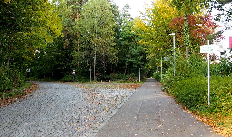
| Description | Nach der Brücke über die Autobahn auf der Rohrer Höhe führt die gepflastete Panzerstraße links ins Rosental. Geradeaus der Radweg in die Waldburgstraße. |
| Date | |
| Source | Own work |
| Author | Ikar.us |
| Permission (Reusing this file) |
I, the copyright holder of this work, hereby publish it under the following license: This file is licensed under the Creative Commons Attribution 3.0 Germany license.
 |
| Other versions |
 |
| Camera location | | View this and other nearby images on: OpenStreetMap |
|---|
File history
Click on a date/time to view the file as it appeared at that time.
| Date/Time | Thumbnail | Dimensions | User | Comment | |
|---|---|---|---|---|---|
| current | 14:55, 16 October 2021 | | 1,872 × 1,104 (316 KB) | Ikar.us (talk | contribs) | {{Information |Description=Nach der Brücke über die Autobahn auf der Rohrer Höhe führt die gepflastete Panzerstraße links ins Rosental. Geradeaus der radweg in die Waldburgstraße. |Source={{own}} |Date=2021-10 |Author=Ikar.us |Permission={{self|cc-by-3.0-de}} |other_versions= }}{{Location|48.71665|9.08659|heding:NNE}} Category:Panzerstraße Böblingen—Vaihingen Category:Stuttgart-Rohr |
You cannot overwrite this file.
File usage on Commons
The following page uses this file:
File usage on other wikis
The following other wikis use this file:
- Usage on de.wikipedia.org